Dumpy Level
The Dumpy Level is a traditional optical surveying instrument used for leveling and measuring height differences. Simple yet reliable, it’s commonly used in small to medium-scale construction and road projects.

Land surveying · GIS · Free, always
BGol is a free community for land surveyors, GIS experts, learners and job seekers. Share your work, ask for help, find jobs or hire the right people. No fees, no commissions.
Built and maintained by working surveying & GIS professionals.
STN 01 About BGol
BGol is a free-of-charge community built with care for professionals, learners and job seekers in land surveying and GIS.
In an industry where talent is often scattered and unconnected, BGol is a gentle attempt to bring everyone under one sky: to share, support and grow together. Whether you are an expert or a fresher in the field, here is a space to:
We believe deeply in giving without expectation. Because in the end, good karma always comes back.
STN 02 Field work
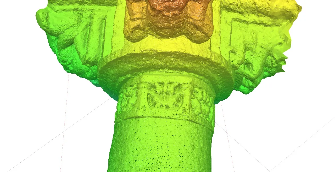
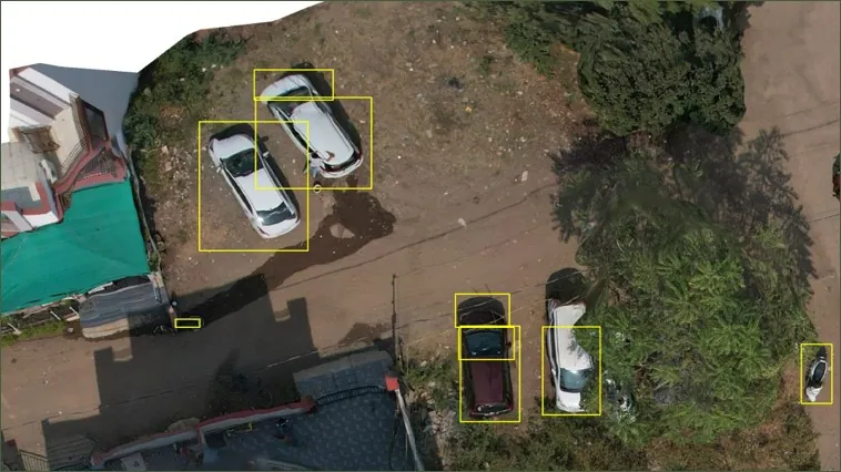
STN 03 What we talk about
Pick your corner of the profession. Ask questions, share workflows and learn from people who work with these tools.
The Dumpy Level is a traditional optical surveying instrument used for leveling and measuring height differences. Simple yet reliable, it’s commonly used in small to medium-scale construction and road projects.
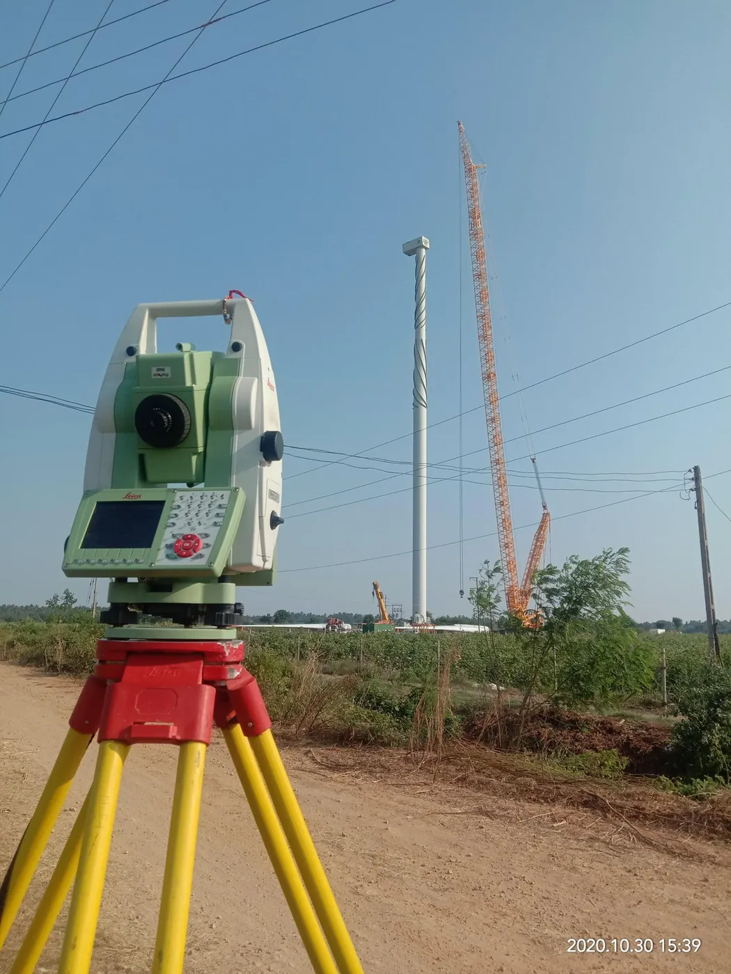
A Total Station is a key surveying instrument that integrates electronic distance measurement and angle measurement for high-precision land surveying. It’s essential in site layout, boundary marking, and construction planning.
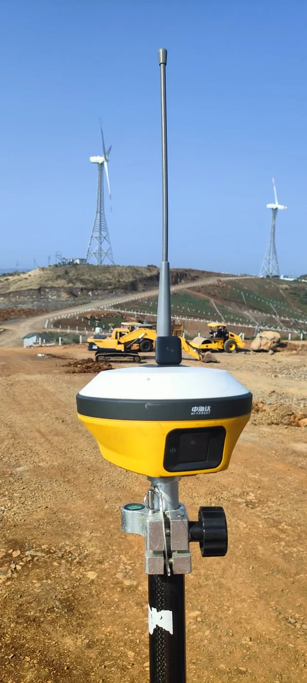
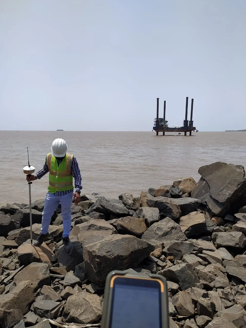
DGPS enhances the accuracy of standard GPS by using fixed ground-based reference stations. It’s widely used in land surveying, precision agriculture, and construction to achieve centimeter-level accuracy.
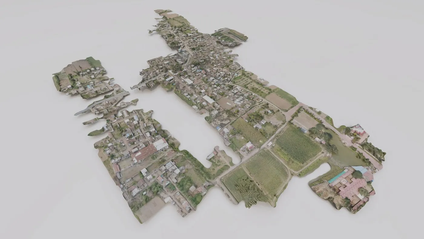
Drones are revolutionizing surveying with their ability to rapidly capture aerial data for topographic mapping, construction progress, and environmental monitoring using orthophotos and 3D models.
Thermal scanning detects temperature differences in materials and environments. It’s used in structural inspections, utility mapping, and environmental surveys to identify heat signatures and leaks.
LiDAR (Light Detection and Ranging) uses laser pulses to create detailed 3D maps of the Earth’s surface. It’s widely used in forestry, infrastructure planning, archaeology, and urban modeling.
GPR (Ground Penetrating Radar) is a non-destructive method that uses radar pulses to image the subsurface. It’s invaluable for detecting utilities, voids, underground storage tanks, and archaeological features.
Hydrographic surveying maps the underwater terrain of rivers, lakes, and seas. It supports navigation safety, dredging, and water resource management using sonar and GPS.
This involves converting raw survey data (from GPS, LiDAR, Drone, etc.) into usable outputs like maps, DEMs, CADs, BIMs and 3D models using specialized software.
GIS (Geographic Information Systems) enables the storage, analysis, and visualization of spatial data. It’s the backbone of modern mapping applications, used in urban planning, disaster management, utility mapping, and more.
360° cameras are used to capture immersive panoramic imagery for photogrammetry, site documentation, and inspection. They are compact, fast, and easy to integrate with mobile apps or GIS systems.
Custom scripts and AI models are transforming how we process data, automate workflows, extract features, detect defects, and perform calculations — all while saving hours of manual work.
STN 04 How the community helps
Jobs, collaboration and trading happen in our WhatsApp and Telegram communities. Knowledge and free tools live in the blog. Companies and professionals get discovered through the news section.
We only provide a platform to connect professionals: no fees, no commissions, no bias. Use the WhatsApp or Telegram communities for hiring, trading and collaboration, and share knowledge, tools and news through this website for better discovery.
All discussions, hiring and deals are peer-to-peer. BGol is not responsible for any contracts, payments, disputes or outcomes from collaborations, jobs or decisions made through this community as a medium.
Please verify people and companies yourself before you commit.
STN 05 Fresh from BGol
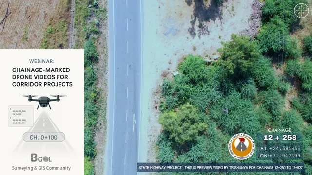 Tool For – Making of Chainage Marked Drone Videos (2026 Updated)Tools & Calculators · 14 Feb 2026
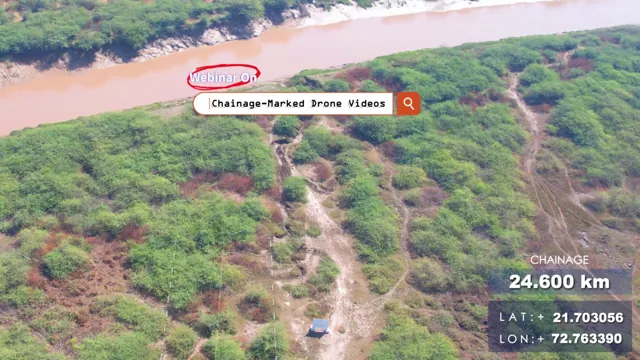 Drone Chainage Video Making – BGol WebinarWebinars & Training · 22 Sep 2025
 Number to Words (India)Tools & Calculators · 28 Aug 2025
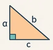 Triangle Sides CalculatorTools & Calculators · 28 Aug 2025
 Traverse Adjustment ToolTools & Calculators · 28 Aug 2025
STN 06 Questions
Yes. BGol is a free community. There are no fees, no commissions and no paywalls, and you do not need an account to read anything on this website.
Land surveyors, GIS professionals, drone and LiDAR operators, students, job seekers, manufacturers and traders in the surveying and geospatial field. Joining means opening one of the community links on the Join page, such as WhatsApp, Telegram or LinkedIn.
Hiring, collaboration and buy/sell conversations happen in the WhatsApp and Telegram communities, where members respond fastest. All deals are peer-to-peer, so please verify people before you commit.
Verified businesses can email their key information (company name, GST number, brochure or portfolio, and what is new). Individuals can share achievements and awards. We check the details and publish the item with its sources. See the Submit page for the checklist.
Yes. The blog has free browser-based calculators, field book templates and conversion tables made for surveyors. Open any post and use the tool directly.
Every news item cites its sources, including a primary source such as the manufacturer or an official body. Items without verifiable sources are not published. The editorial policy page explains the full method.
STN 07 Join us
Every link opens the community on that platform. Join the ones you already use.