Webinars & Training · · 1 min read
Training on Advanced Surveying to Govt. Officials
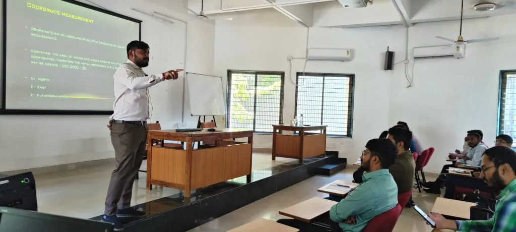
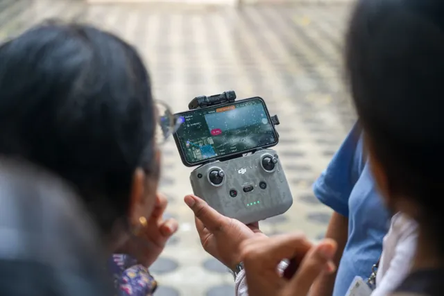
A training week at WALMI, Anand, introducing government officers to advanced surveying with drone technology, from ground control to 3D models.
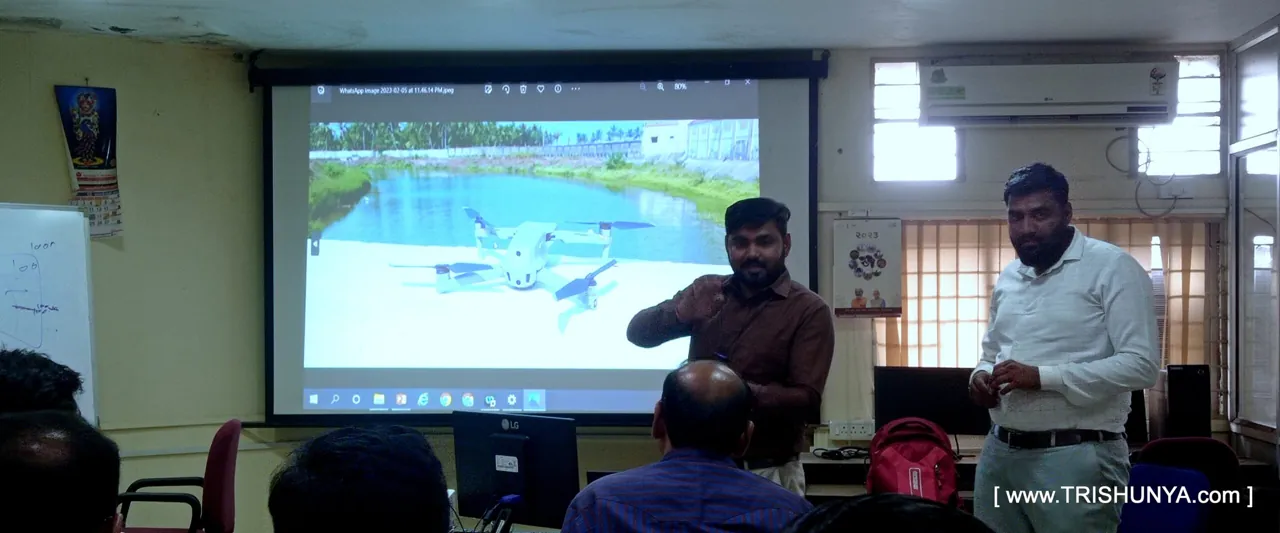
🧭 From ground control to 3D models – we trained them on it all!
Proud to be a part of a training week at WALMI, Anand, where we introduced government officers to the future of Advanced Surveying using Drone Tech.
___________________
Thanks to Trishunya Consultancyand our knowledge-sharing platform BGol Community, we could deliver real hands-on value – not just presentations.
We walked participants through:
Drone mission planning & GCP layout
Data capture using different payloads
Post-processing techniques including dense point clouds, contours, orthos, and thermal maps
Sharing field-tested tips on workflows, QC checks, and software tools
Looking forward to more such impactful training!