Trishunya Survey Solutions: Elevate Your Project with Unmatched AccuracyFrom urban master plans to coastal hydrography, Trishunya delivers turnkey surveying services—combining GNSS, LiDAR, drone photogrammetry and total-station precision to turn complex terrain into clear, actionable data. Whether it’s grading an airport runway or mapping a new township, our expert team ensures on-time delivery, rigorous QA/QC, and CAD-ready outputs that integrate seamlessly into your workflow. Visit Website Today: https://trishunya.com/ BGol Profile: https://bgol.in/user/trishunya.consultancy/
Contact for Land Surveying Needs
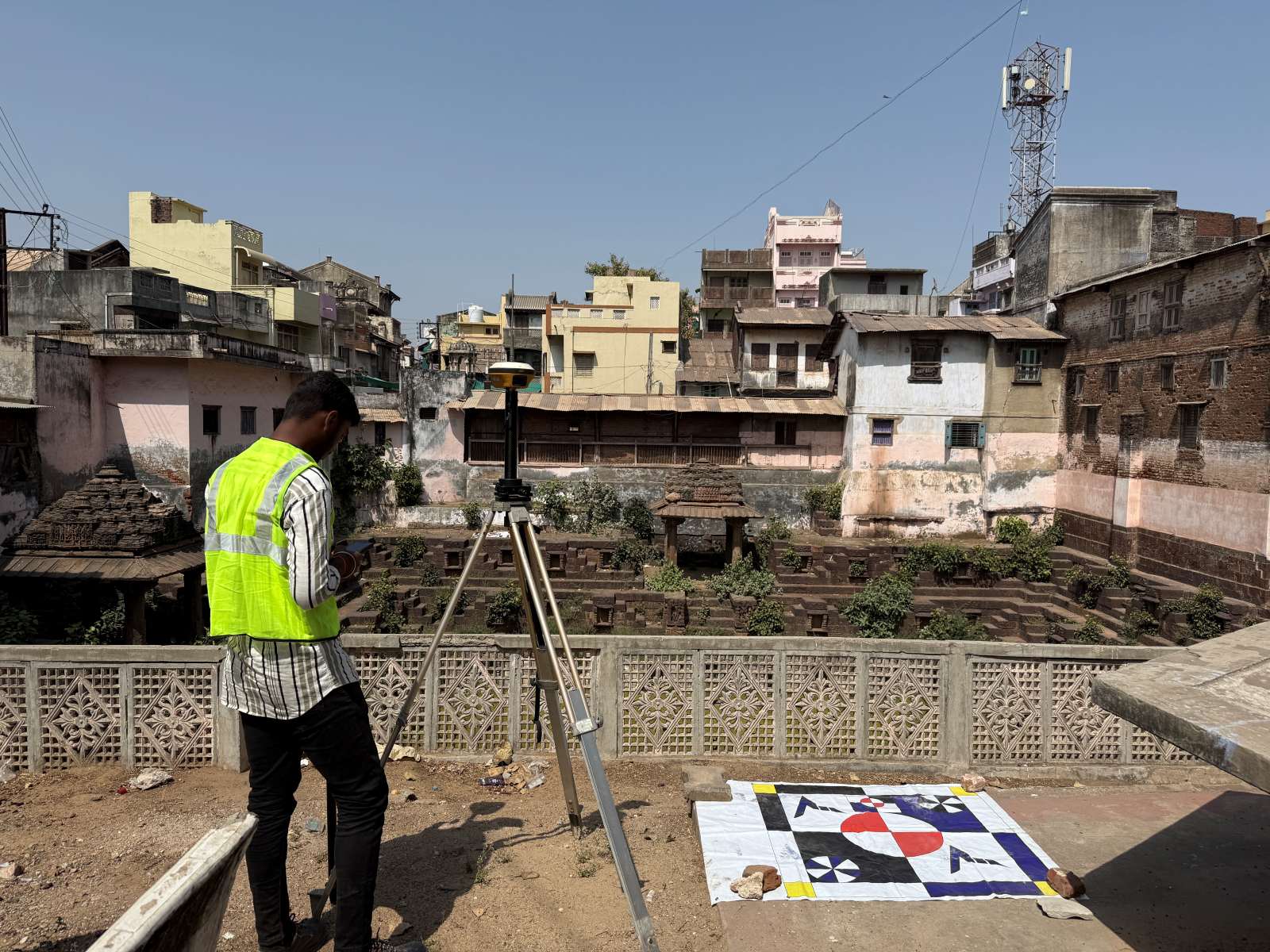
🎯 Our Expertise: High-precision Total Station & DGPS Surveys Accurate Control Network Establishment Detailed Topographic & Terrain Mapping Safe, compliant Highway & Roadway Layout Clear Plot Demarcation & Legal Boundary Surveys Partner with us for reliable data, swift turnaround, and expert insights that keep your project on track.📞 Let’s talk about your next survey—reach out now! Contact Details: https://bgol.in/user/a.square.m.square View this post on Instagram
Contact For Accurate Land Surveying
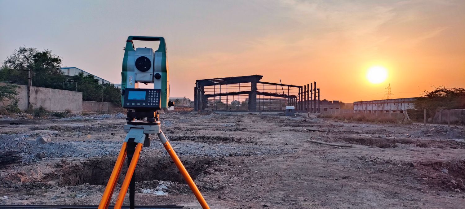
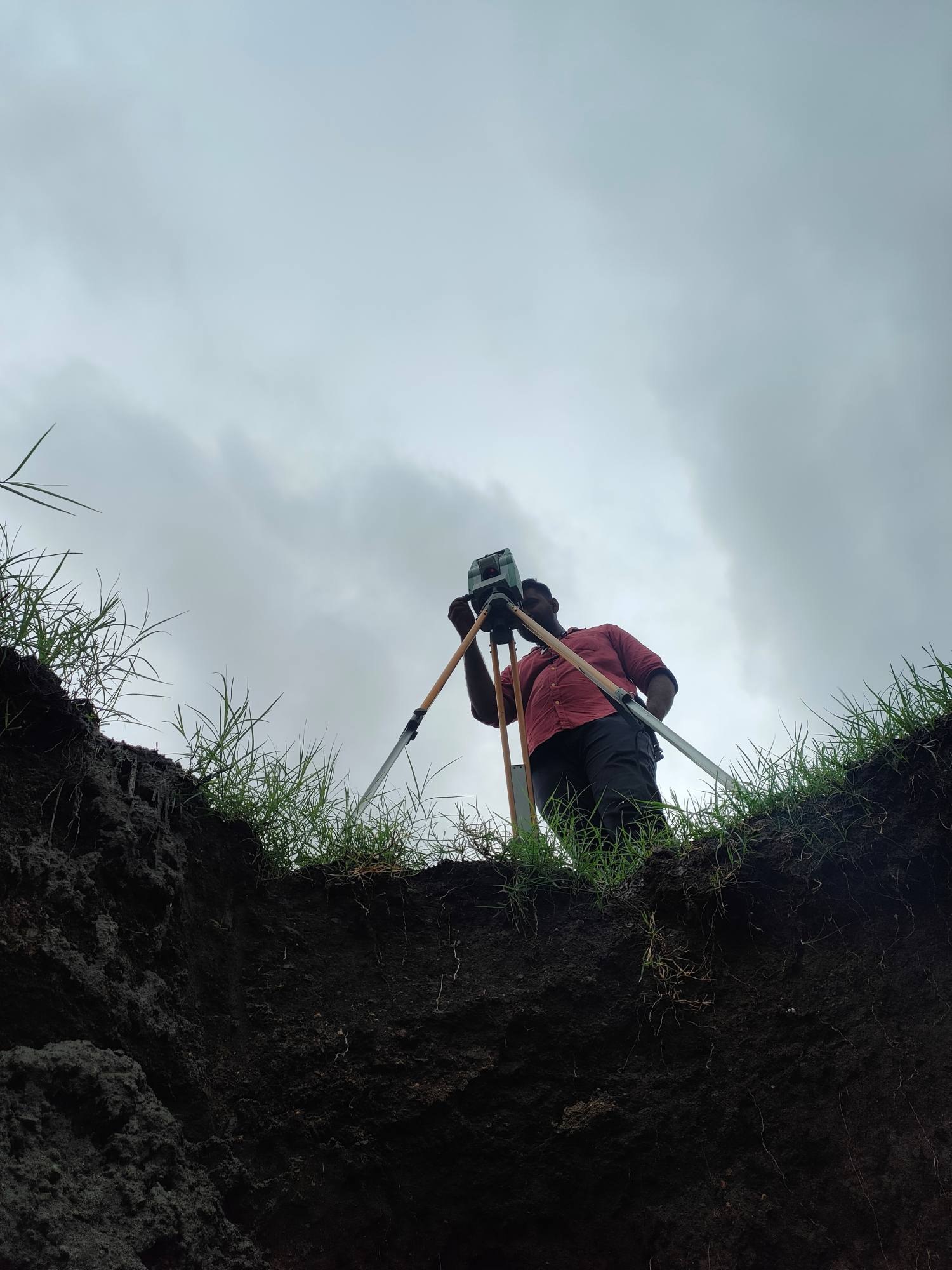
Precision lies at the heart of every successful project.At Trishunya Survey Solution, we specialize in Total Station & DGPS surveying for: Control Surveys 🗺️ Topographic Mapping 🌄 Highway & Infrastructure Surveys 🛣️ Plot Demarcation & Boundary Mapping 🔖 Serving infrastructure developers, urban planners, and real estate professionals, our expert team delivers centimeter-level accuracy and on-time results.Ready to elevate your next project? Contact today: https://bgol.in/user/kartik.sorathiya/ View this Reel on Instagram