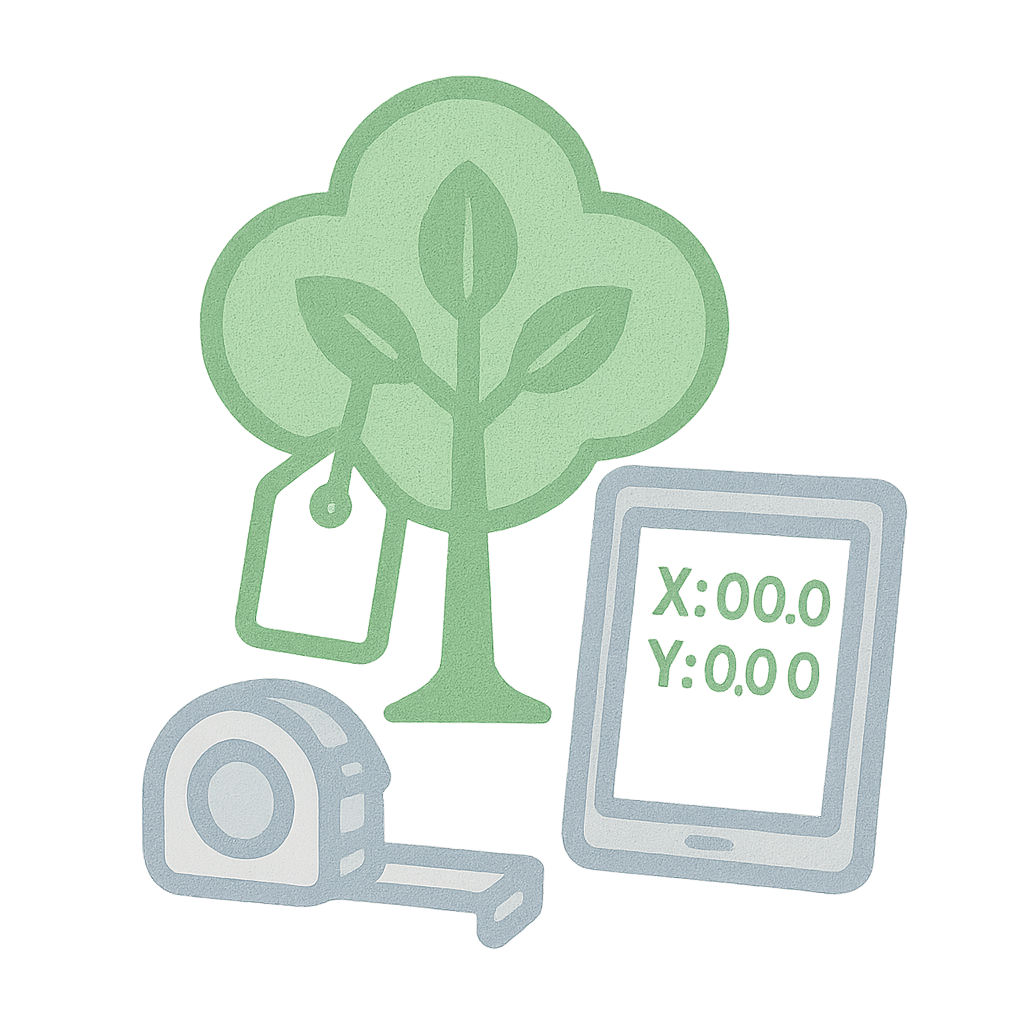
Urban forestry, plantation management, and ecological assessments all begin with data. The Tree Enumeration Field Book offers a clear format for recording: Species, girth at breast height (GBH), tree height GPS location, health condition, and ID number Notes on flora diversity and replantation It’s ideal for smart city planning, green audits, environmental clearance, and heritage tree documentation. LINK to DOWNLOAD
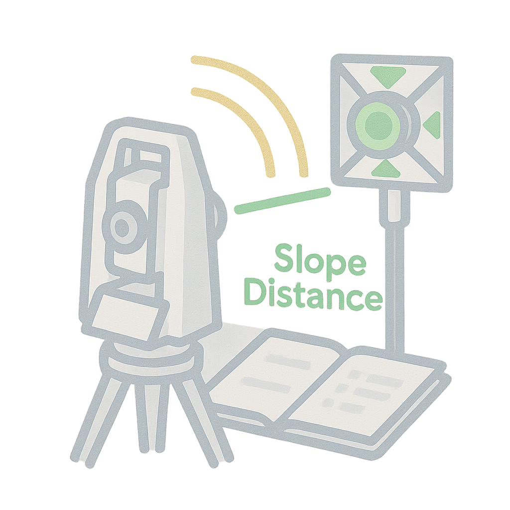
Total Station Field Book
The Total Station Field Book is your partner for modern surveying needs. Whether you’re recording topography, layout points, or control networks, this PDF simplifies data collection in the field. What’s inside? Columns for Station ID, Prism ID, horizontal & vertical angles, slope distance Space for setup details, instrument calibration, and benchmark reference Notes and sketches to aid post-processing in CAD/GIS This book supports everything from small layouts to 100-acre surveys with topographic detail. LINK to DOWNLOAD
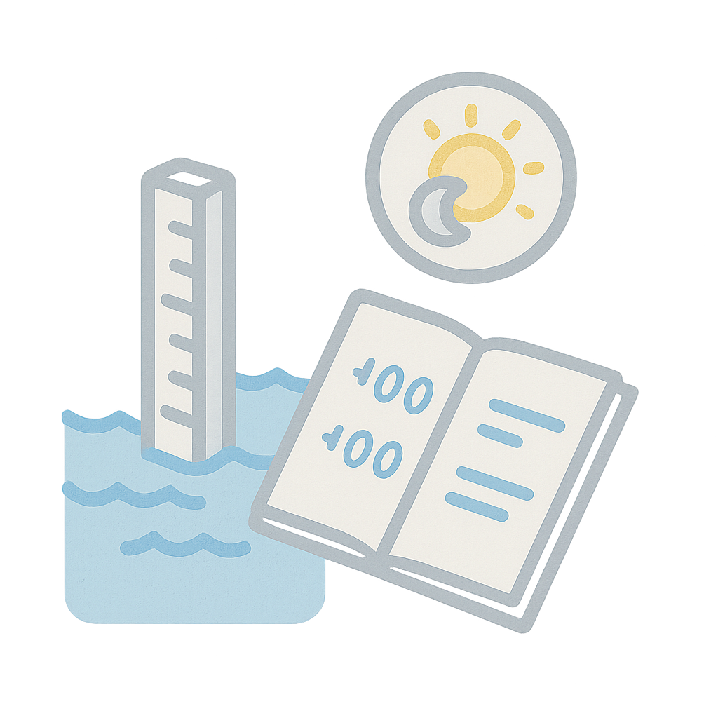
Tidal Level Log
In coastal and riverine environments, tidal variations are critical to understand. This Tidal Level Log lets you track water levels at regular intervals throughout the day, supporting hydrographic surveys and flood studies. Includes: Timestamp, gauge reading, and level vs MSL Sections for high tide, low tide, and anomaly notes Best used with staff gauges, echo sounders, or pressure transducers This record supports port development, bridge foundation design, and disaster risk modeling. LINK to DOWNLOAD
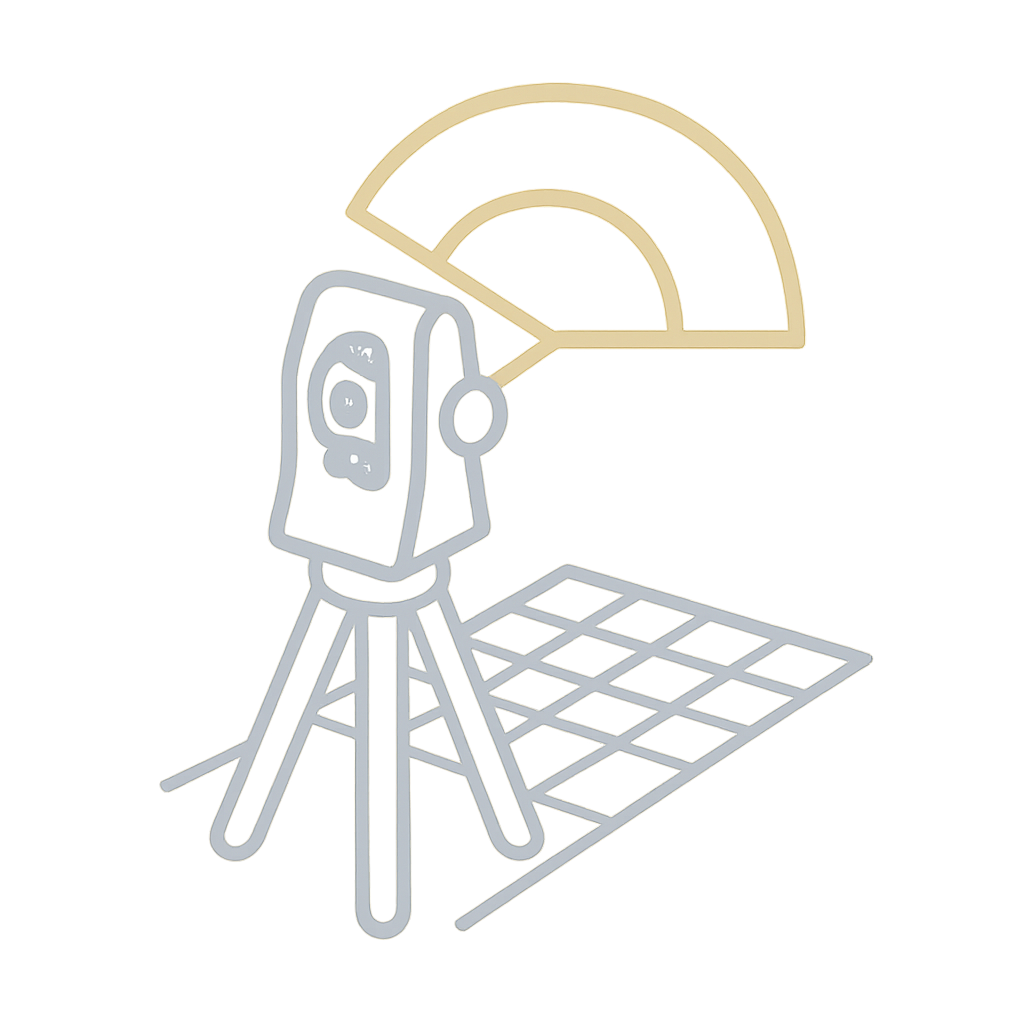
Theodolite Traverse Field Book
Traversing is the backbone of many land surveys, and the Theodolite is the trusted instrument for measuring angles with high precision. This field book offers a clean and consistent way to record traverses. Key features: Columns for station name, angle measured, bearing, and distance Traverse adjustment and error closure fields Suitable for property boundary surveys, road centerlines, and bridge alignments Compatible with plotting and CAD post-processing By capturing clean angular and linear data, this book ensures your traverse network is mathematically sound and geometrically tight. LINK to DOWNLOAD
Leveling Field Book (Rise & Fall)
The Rise and Fall method brings clarity to undulating terrain. It allows surveyors to explicitly note how the ground level is changing between points, making it perfect for grading, contour mapping, and road design. This PDF template offers: It supports better decision-making in land development and drainage alignment projects. LINK to DOWNLOAD
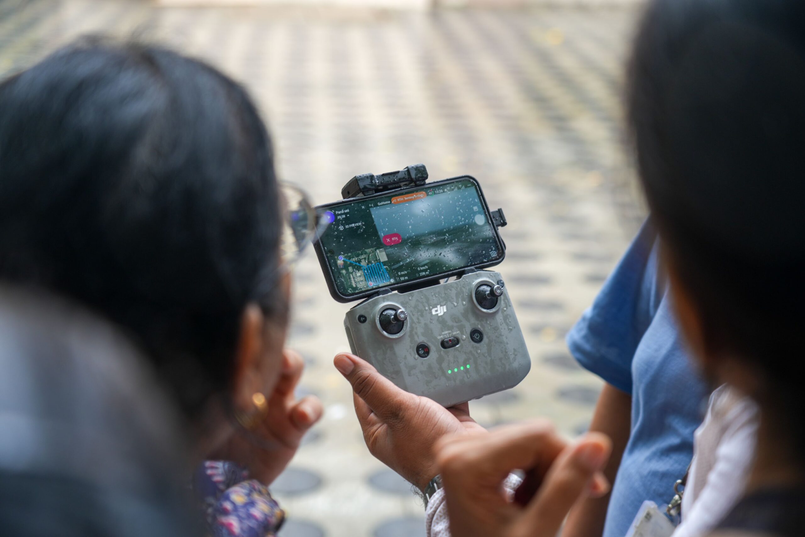
Faculty Training on Drone Technologies for Construction
We recently had the privilege of conducting a Faculty Development Training (FDP) at Parul University, aimed at bridging the gap between traditional teaching methods and the rapidly evolving landscape of aerial surveying, GIS, and AI-powered civil engineering solutions. 🔍 Key Focus Areas:Introduction to Aerial Intelligence – Understanding how drones and smart payloads are revolutionizing topographic surveys, infrastructure monitoring, and construction planning. AI Integration in Surveying – Showcasing real-world applications of AI for crack detection, volumetric analysis, and 3D reconstruction using NeRF (Neural Radiance Fields). Hands-on Demonstration – Live demos and post-processing workflows gave faculty members a direct experience of how modern tools can enrich both research and teaching. The session was not just about tools and technology—it was about equipping educators to guide the next generation of engineers with real-world, field-tested knowledge. We extend our thanks to the Department of Civil Engineering, Parul University for hosting us and fostering such a forward-thinking learning environment. The curiosity and participation from the faculty reaffirmed our belief: when educators are empowered, the ripple effect reaches generations of learners.
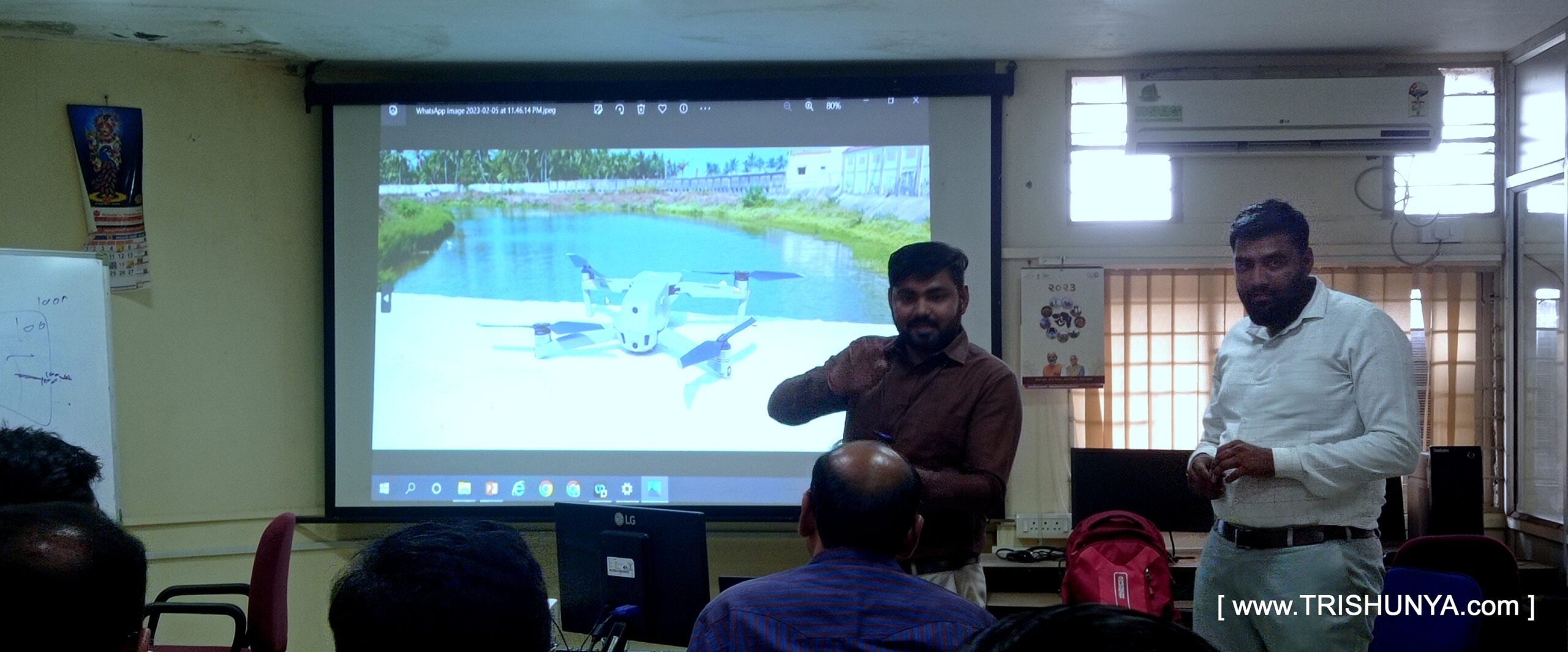
Training on Advanced Surveying to Govt. Officials
🧭 From ground control to 3D models – we trained them on it all!” Proud to be a part of a training week at WALMI, Anand, where we introduced government officers to the future of Advanced Surveying using Drone Tech. ___________________ Thanks to Trishunya Consultancy and our knowledge-sharing platform BGol Community, we could deliver real hands-on value – not just presentations. We walked participants through: Looking forward to more such impactful training!