


6 August, 2025/
No Comments
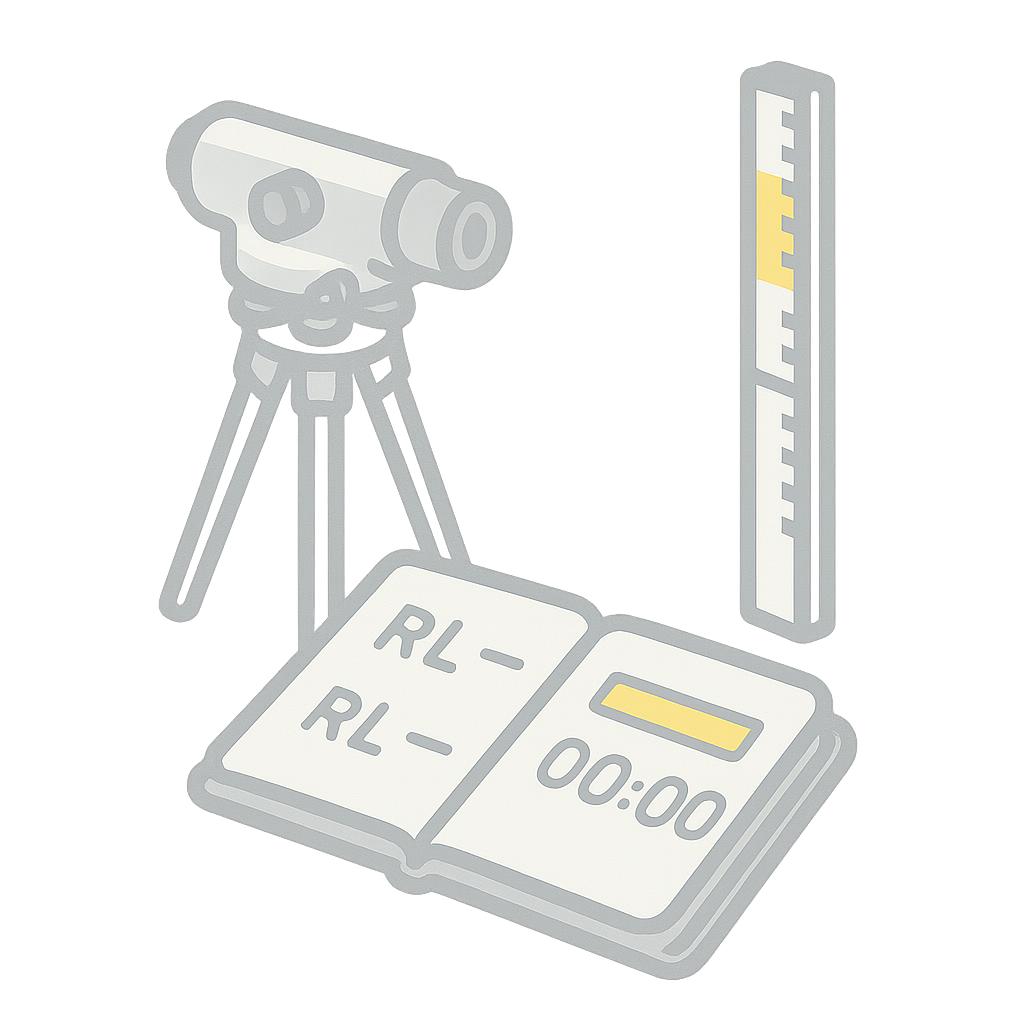
The Dumpy Level remains a reliable workhorse in elevation surveys and is still widely used in construction and land leveling...


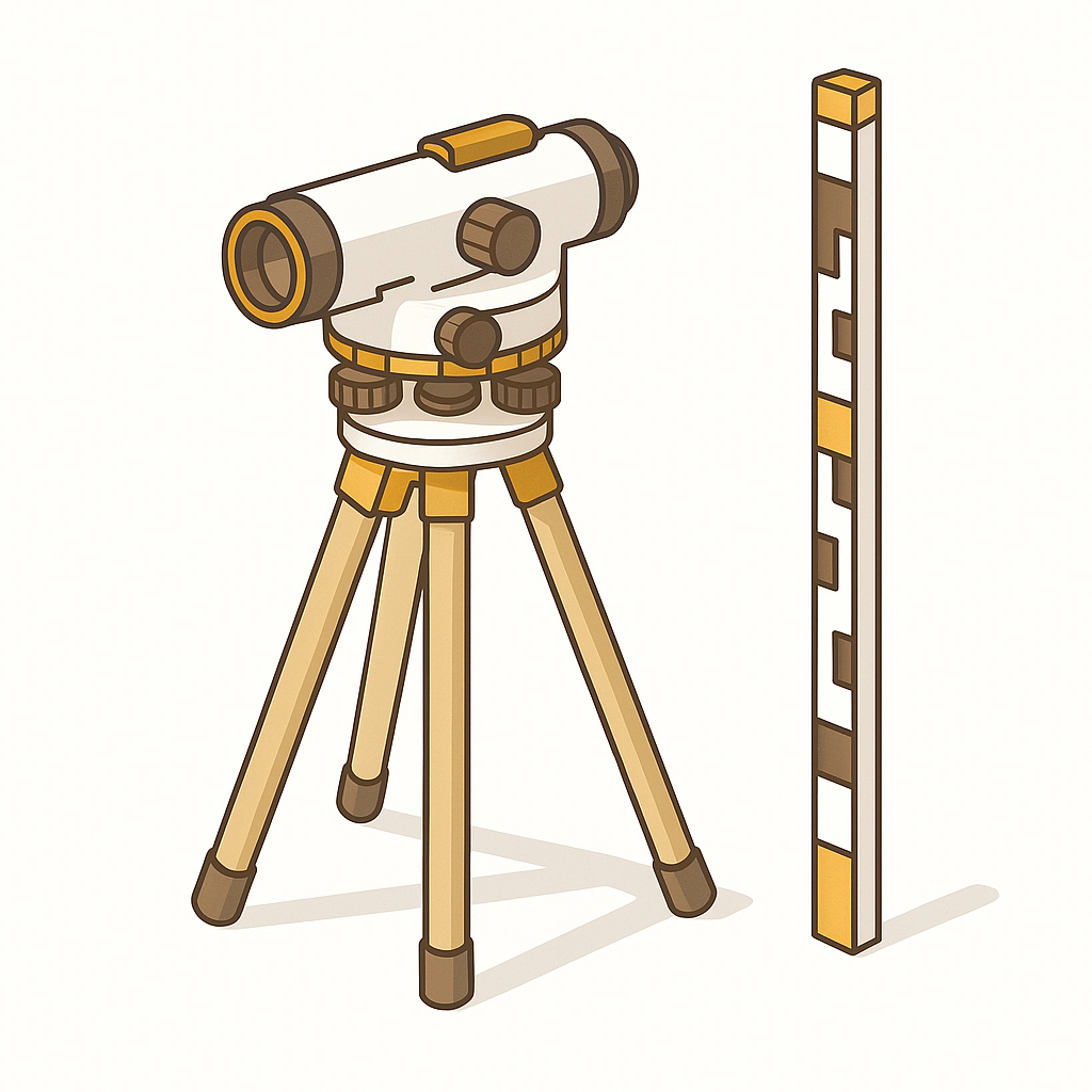
The Dumpy Level is a traditional optical surveying instrument used for leveling and measuring height differences. Simple yet reliable, it’s commonly used in small to medium-scale construction and road projects.
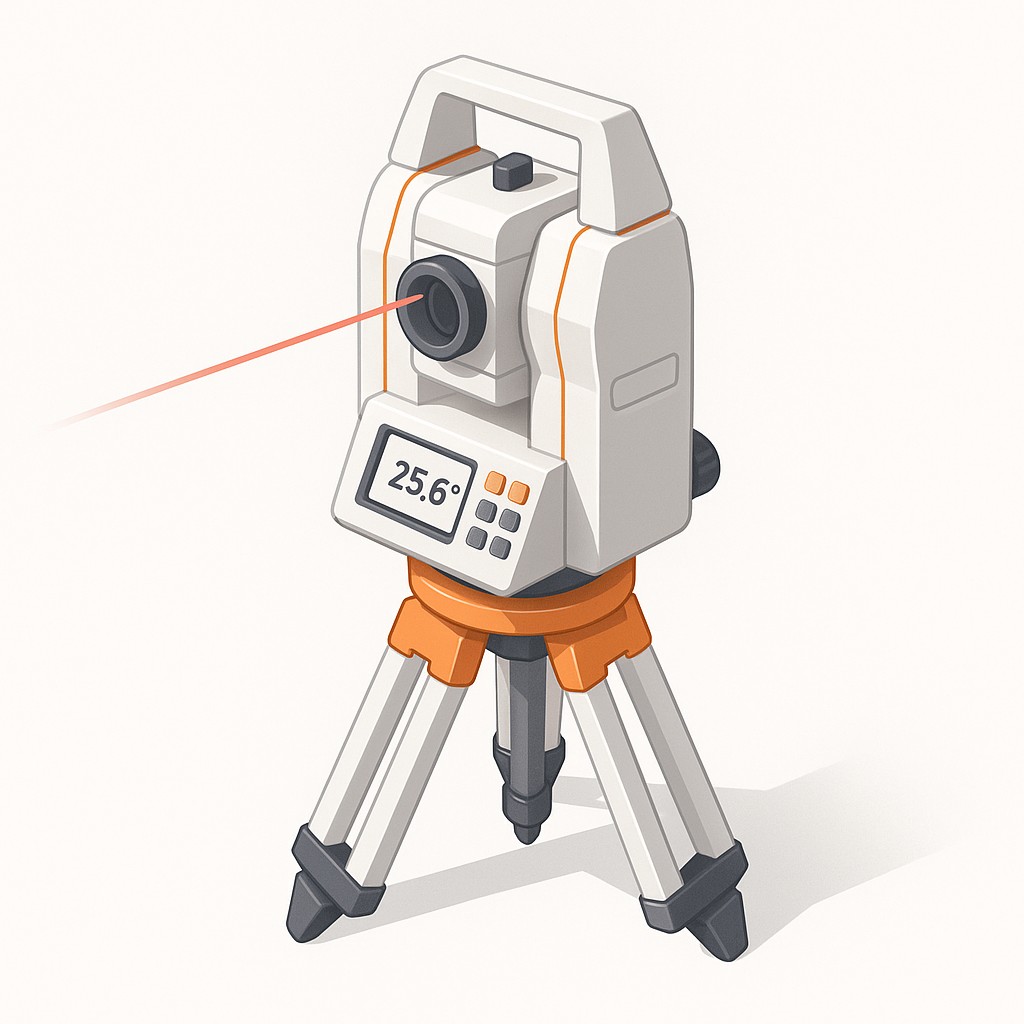
A Total Station is a key surveying instrument that integrates electronic distance measurement and angle measurement for high-precision land surveying. It's essential in site layout, boundary marking, and construction planning.
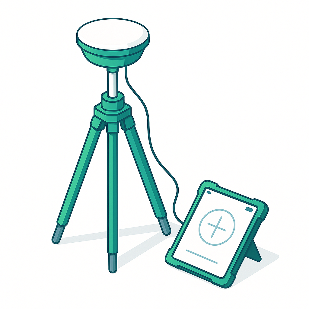
DGPS enhances the accuracy of standard GPS by using fixed ground-based reference stations. It’s widely used in land surveying, precision agriculture, and construction to achieve centimeter-level accuracy.
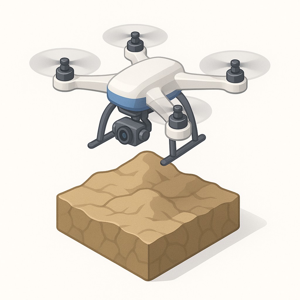
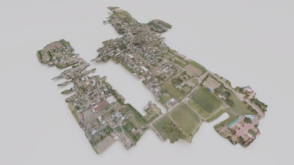
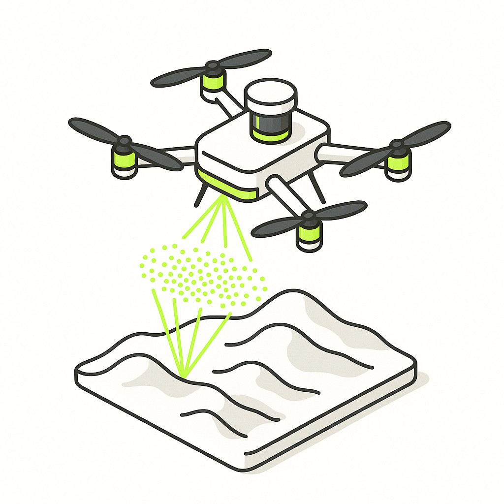
Drones are revolutionizing surveying with their ability to rapidly capture aerial data for topographic mapping, construction progress, and environmental monitoring using orthophotos and 3D models.

Thermal scanning detects temperature differences in materials and environments. It’s used in structural inspections, utility mapping, and environmental surveys to identify heat signatures and leaks.
LiDAR (Light Detection and Ranging) uses laser pulses to create detailed 3D maps of the Earth’s surface. It’s widely used in forestry, infrastructure planning, archaeology, and urban modeling.
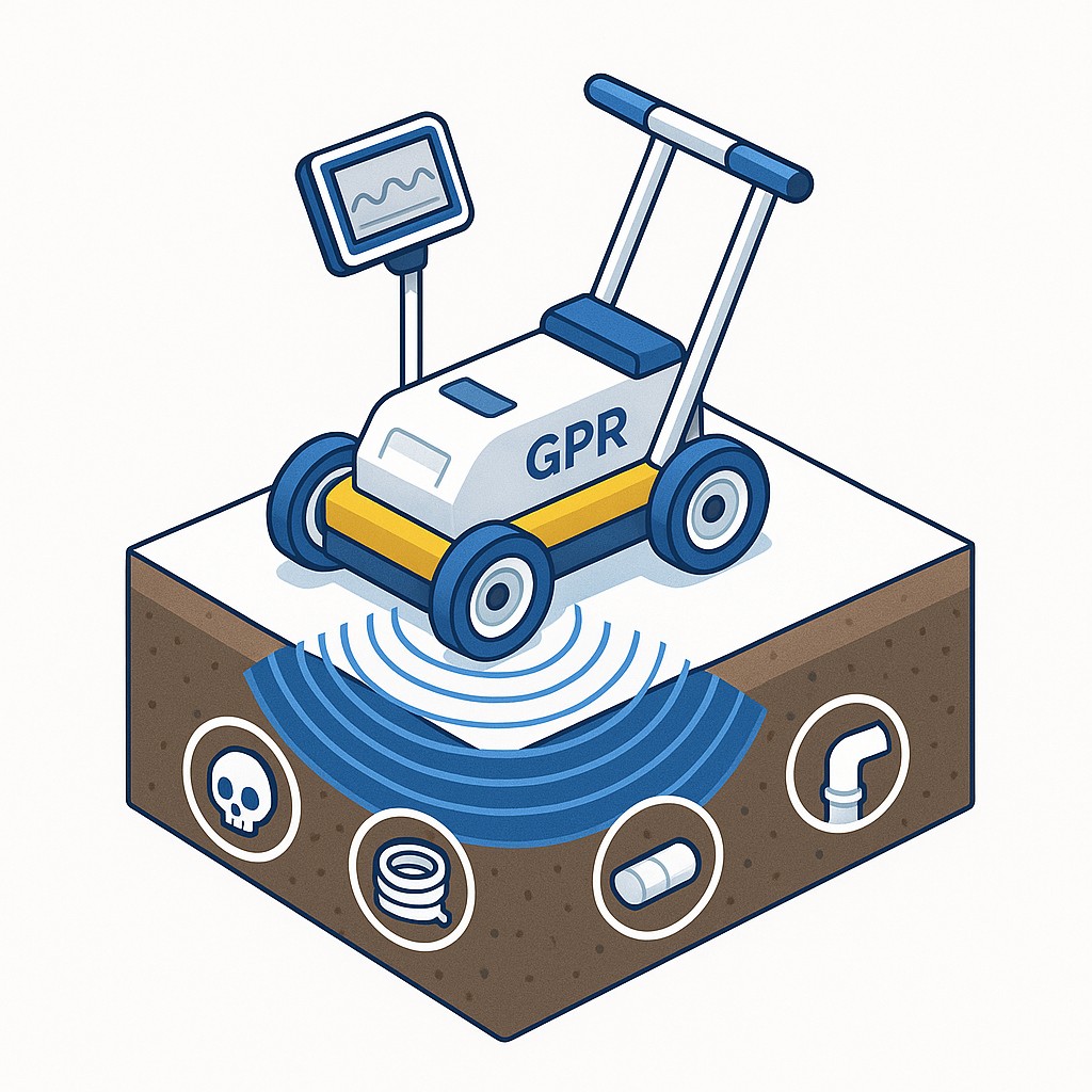
GPR (Ground Penetrating Radar)) is a non-destructive method that uses radar pulses to image the subsurface. It's invaluable for detecting utilities, voids, underground storage tanks, and archaeological features.
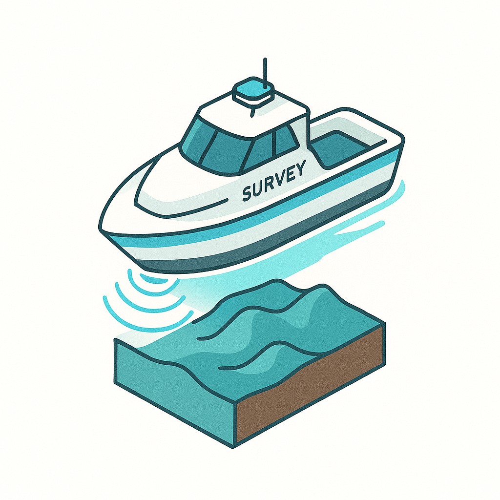
Hydrographic surveying maps the underwater terrain of rivers, lakes, and seas. It supports navigation safety, dredging, and water resource management using sonar and GPS.
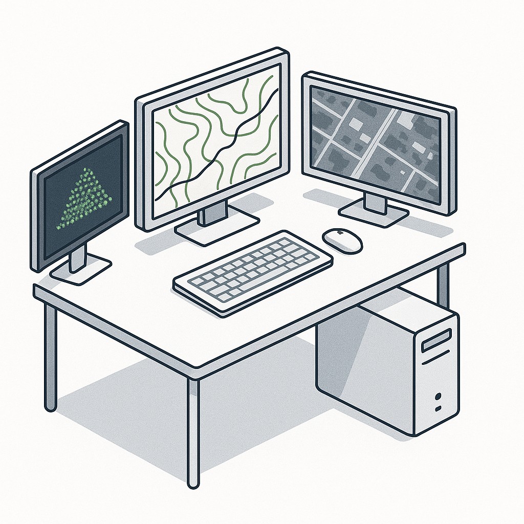
This involves converting raw survey data (from GPS, LiDAR, Drone, etc.) into usable outputs like maps, DEMs, CADs, BIMs and 3D models using specialized software.
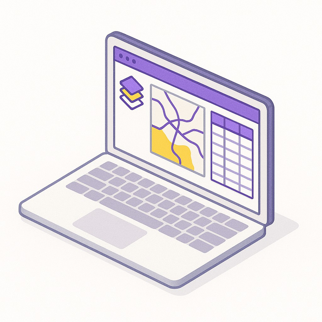
GIS (Geographic Information Systems) enables the storage, analysis, and visualization of spatial data. It's the backbone of modern mapping applications, used in urban planning, disaster management, utility mapping, and more.

360° cameras are used to capture immersive panoramic imagery for photogrammetry, site documentation, and inspection. They are compact, fast, and easy to integrate with mobile apps or GIS systems.

Custom scripts and AI models are transforming how we process data, automate workflows, extract features, detect defects, and perform calculations — all while saving hours of manual work.
 Important Notes
 BGol is a Free & Open Community
We only provide a platform to connect professionals — no fees, no commissions, no bias.
 Disclaimer
All discussions, hiring, and deals are peer-to-peer. BGol is not responsible for any contracts, payments, disputes, or outcomes from collaborations, jobs, or decision made through this community as a medium.
___________
💎 You can use Whatsapp or Telegram community medium for following hiring / trading / collaboration.
💎 We recommend posting in this website for better discovery of your need/offering in the internet.
The Dumpy Level remains a reliable workhorse in elevation surveys and is still widely used in construction and land leveling...

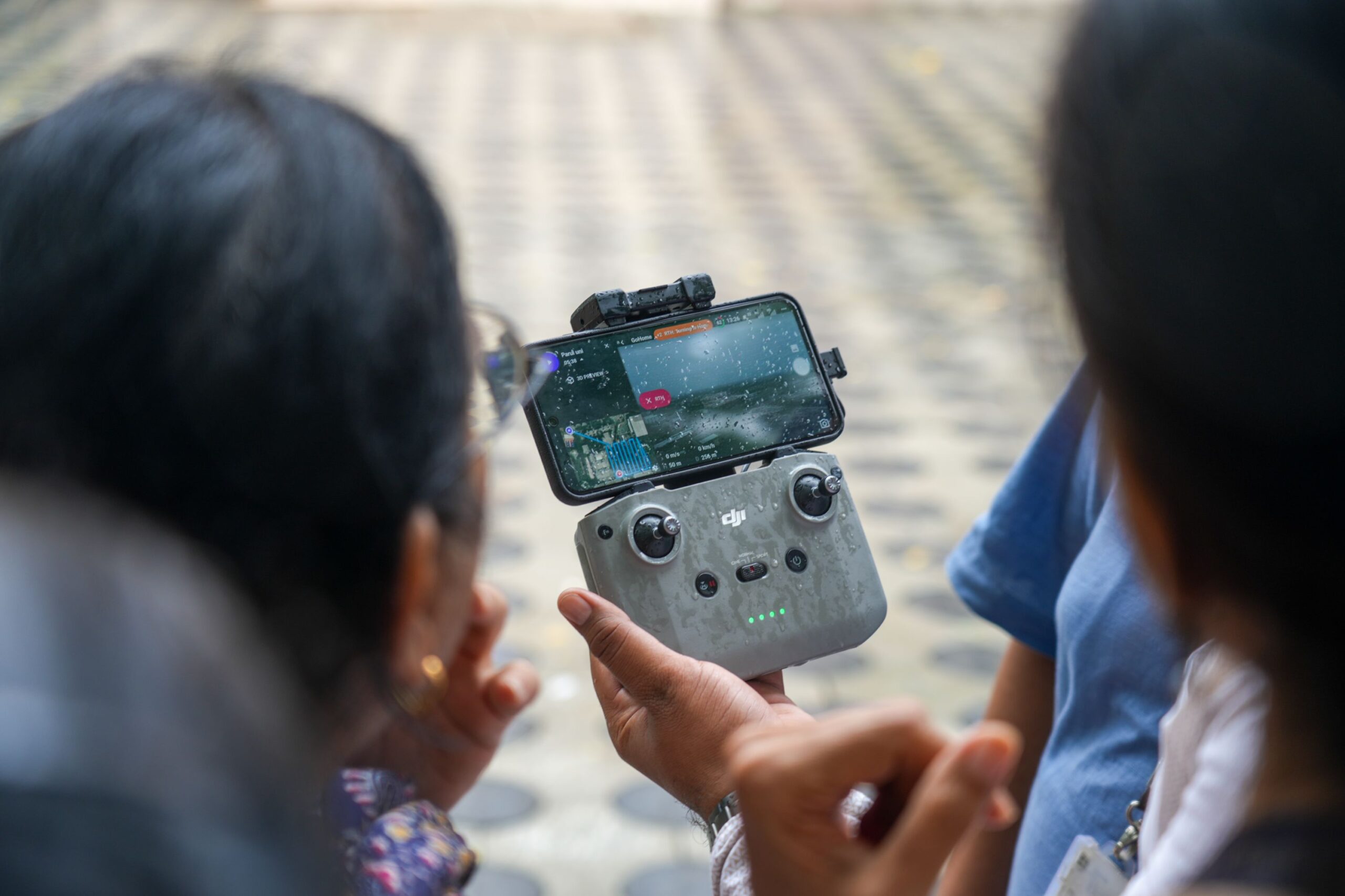
Drones have become indispensable in modern surveying, offering faster data collection and access to difficult terrains. However, to maintain regulatory...
When it comes to geodetic-level accuracy, Differential GPS (DGPS) is the gold standard. But even with advanced instruments, proper data...

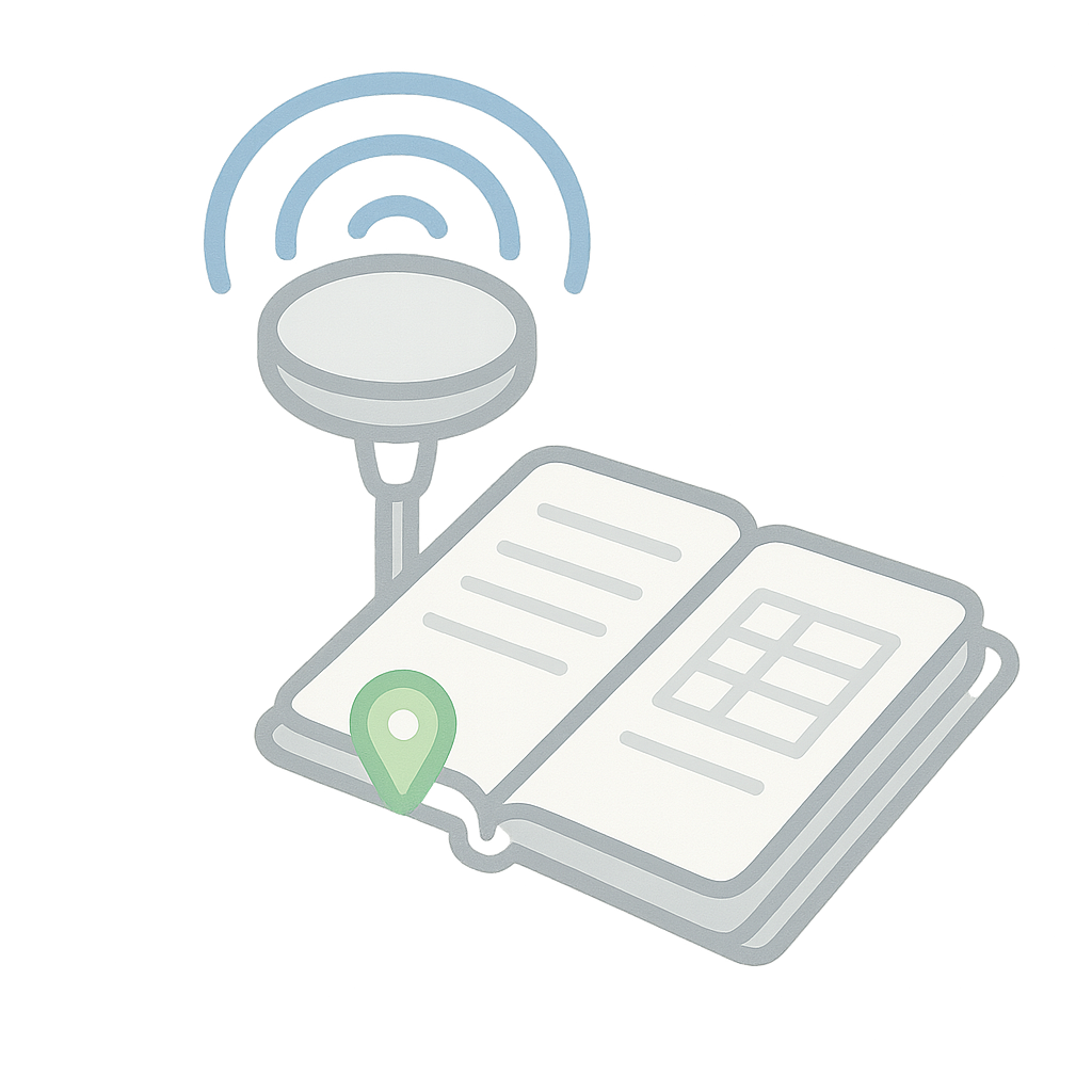
Consistency and traceability are key in surveying. The Daily Field Survey Log Book PDF format is designed to record your...

Urban forestry, plantation management, and ecological assessments all begin with data. The Tree Enumeration Field Book offers a clear format...
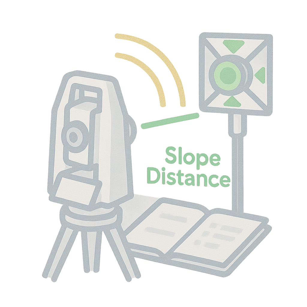
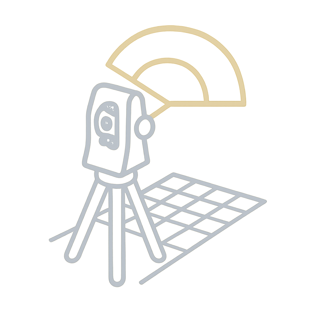
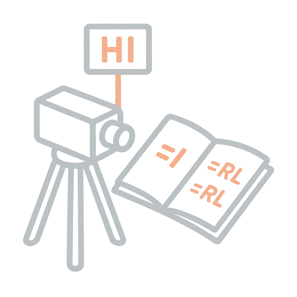
The Total Station Field Book is your partner for modern surveying needs. Whether you’re recording topography, layout points, or control...
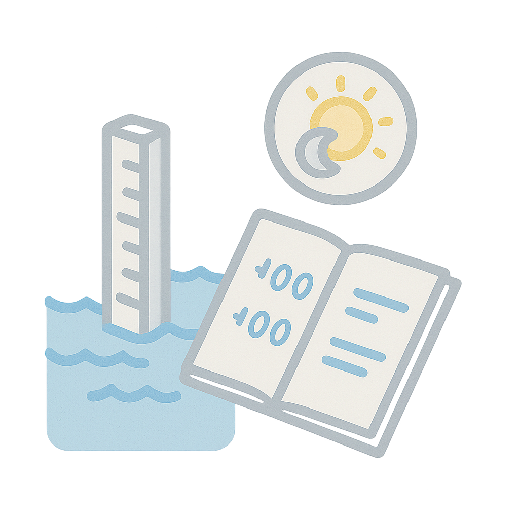
In coastal and riverine environments, tidal variations are critical to understand. This Tidal Level Log lets you track water levels...
Traversing is the backbone of many land surveys, and the Theodolite is the trusted instrument for measuring angles with high...
The Rise and Fall method brings clarity to undulating terrain. It allows surveyors to explicitly note how the ground level...
We recently had the privilege of conducting a Faculty Development Training (FDP) at Parul University, aimed at bridging the gap...
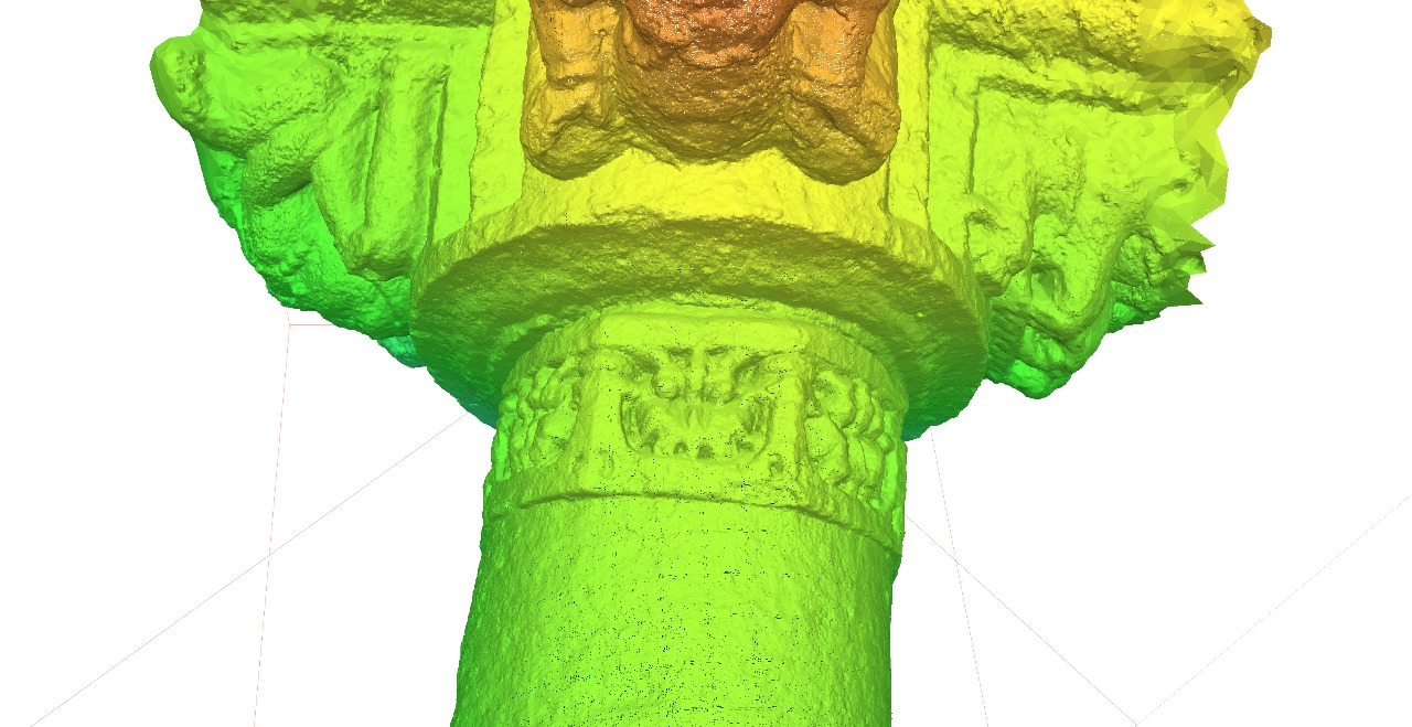
Last week our team at Trishunya spent just few days scanning a heritage site that normally takes weeks to document...

We’re excited to announce that Trishunya has been appointed as the Structural Alignment Inspector for the Adani Group at the...