Trishunya Survey Solutions: Elevate Your Project with Unmatched AccuracyFrom urban master plans to coastal hydrography, Trishunya delivers turnkey surveying services—combining GNSS, LiDAR, drone photogrammetry and total-station precision to turn complex terrain into clear, actionable data. Whether it’s grading an airport runway or mapping a new township, our expert team ensures on-time delivery, rigorous QA/QC, and CAD-ready outputs that integrate seamlessly into your workflow. Visit Website Today: https://trishunya.com/ BGol Profile: https://bgol.in/user/trishunya.consultancy/
Portfolio – Trishunya 2.0
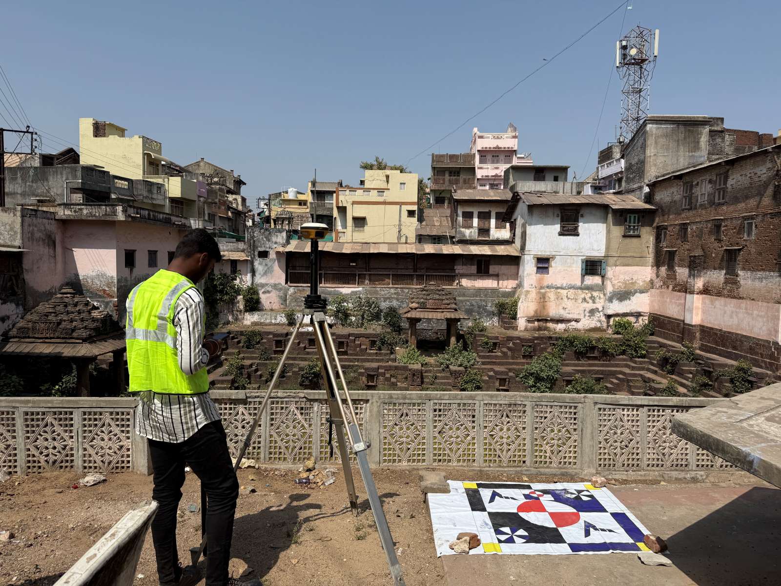
At Trishunya Consultancy & Infrastructure, our surveying expertise is showcased through a diverse portfolio of critical projects across Gujarat: Urban & Municipal Surveys: Detailed topographic mapping and corridor investigations for the Bhavnagar Municipal Corporation in Bhavnagar, Gujarat Port & Coastal Works: Precision hydrographic and structural surveys for APM Terminals at Pipavav Port, ensuring safe navigation and infrastructure planning Energy & Utilities: Comprehensive pipeline route and right-of-way assessments for GETCO in Dholera, Gujarat, supporting seamless power transmission Each engagement combines cutting-edge GNSS, LiDAR, drone, and total-station technologies with rigorous QA/QC procedures to deliver accurate, actionable data. Explore our full portfolio at www.trishunya.com and discover how we can bring precision and reliability to your next surveying project.

Portfolio – Trishunya
At Trishunya, we turn complex terrain into clear, actionable data—leveraging GNSS, drone photogrammetry, LiDAR and total-station workflows to support infrastructure, urban planning and water-resources projects across Gujarat. Portfolio Highlights: Science City, Ahmedabad: 3D terrain models & high-res topography Canal Works: As-built alignment checks & gradient analysis Transportation: Runway grading, platform elevation surveys
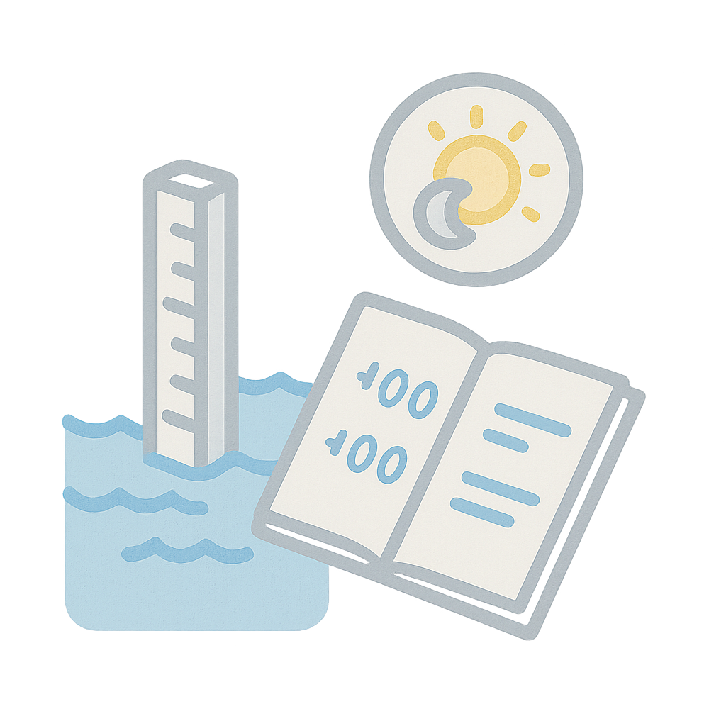
Tidal Level Log
In coastal and riverine environments, tidal variations are critical to understand. This Tidal Level Log lets you track water levels at regular intervals throughout the day, supporting hydrographic surveys and flood studies. Includes: Timestamp, gauge reading, and level vs MSL Sections for high tide, low tide, and anomaly notes Best used with staff gauges, echo sounders, or pressure transducers This record supports port development, bridge foundation design, and disaster risk modeling. LINK to DOWNLOAD