
In the world of land surveying, legacy systems often linger longer than expected. One such legacy system is the use of Chain and Link units—once the standard for recording distances in field books and Tippan drawings, especially in older cadastral maps across India. The Chain & Link Conversion Table [HD Image] is an essential reference sheet that allows surveyors and GIS professionals to instantly convert traditional units (like 1 chain = 66 feet or 100 links) into modern metric equivalents. Whether you’re digitizing old Tippan drawings or validating historic land records, this visual aid ensures clarity and accuracy during the conversion process. The table includes: This resource is not just a utility—it preserves the bridge between India’s survey heritage and its digital future. LINK to Download
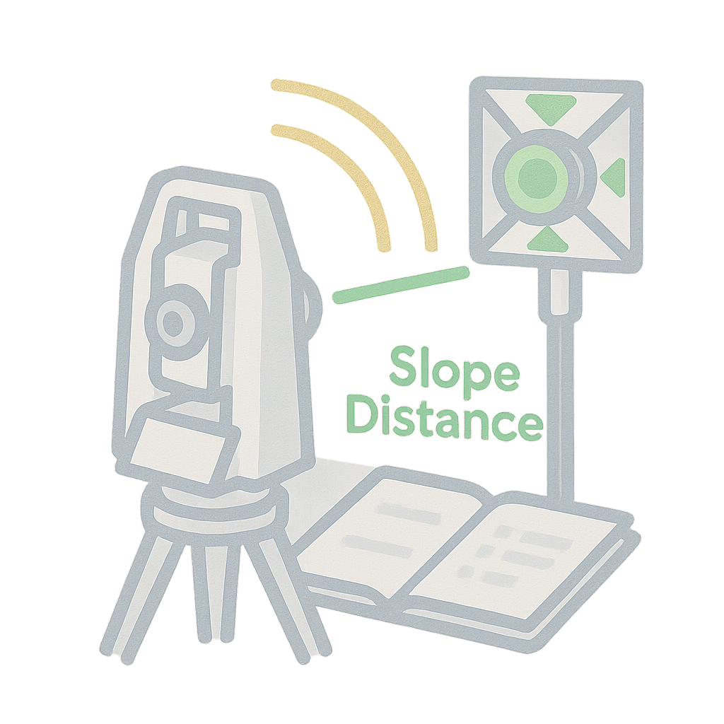
Total Station Field Book
The Total Station Field Book is your partner for modern surveying needs. Whether you’re recording topography, layout points, or control networks, this PDF simplifies data collection in the field. What’s inside? Columns for Station ID, Prism ID, horizontal & vertical angles, slope distance Space for setup details, instrument calibration, and benchmark reference Notes and sketches to aid post-processing in CAD/GIS This book supports everything from small layouts to 100-acre surveys with topographic detail. LINK to DOWNLOAD

Structural Alignment Inspection Project
We’re excited to announce that Trishunya has been appointed as the Structural Alignment Inspector for the Adani Group at the Sardar Vallabhbhai Patel International Airport, Ahmedabad ✈️ Our responsibilities include high-precision third-party inspection and verification of column alignments, wall foundations, and the complete structural layout of the work executed by PSP Projects Ltd. We ensure that every structural element is executed in strict conformance with the approved drawings and design, maintaining the highest standards of accuracy and compliance. We’re honored to contribute our expertise in layout validation and structural integrity to one of India’s most important and future-ready airport projects.
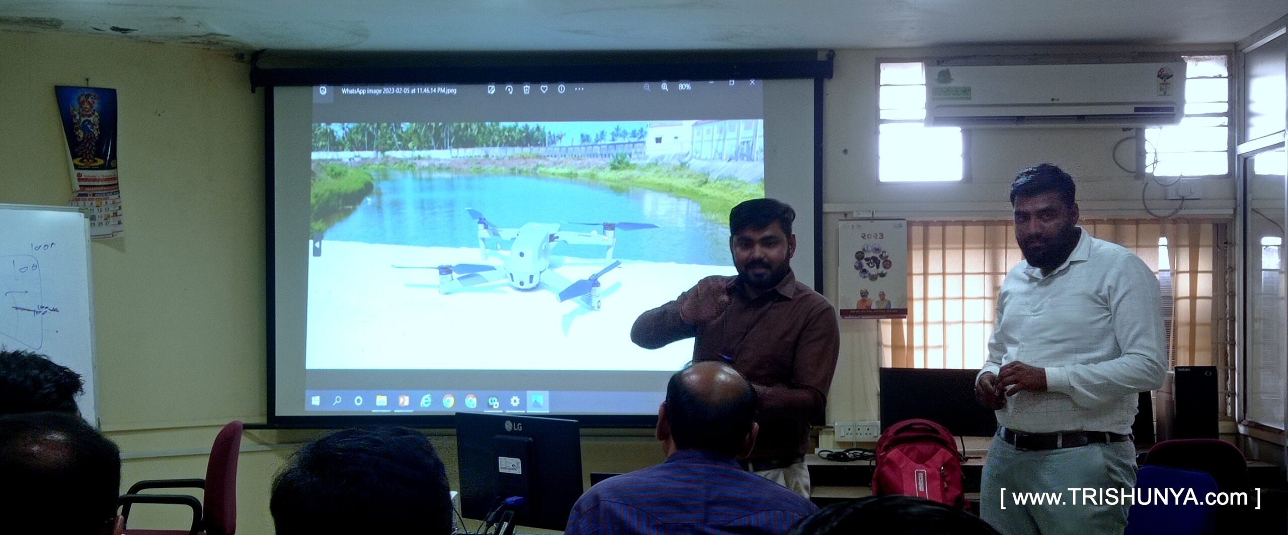
Training on Advanced Surveying to Govt. Officials
🧭 From ground control to 3D models – we trained them on it all!” Proud to be a part of a training week at WALMI, Anand, where we introduced government officers to the future of Advanced Surveying using Drone Tech. ___________________ Thanks to Trishunya Consultancy and our knowledge-sharing platform BGol Community, we could deliver real hands-on value – not just presentations. We walked participants through: Looking forward to more such impactful training!