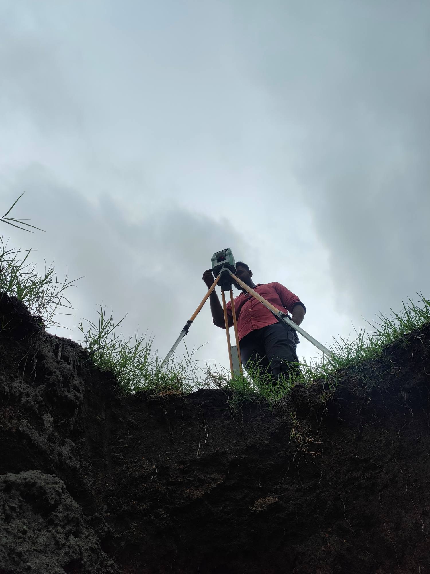
Precision lies at the heart of every successful project.At Trishunya Survey Solution, we specialize in Total Station & DGPS surveying for: Control Surveys 🗺️ Topographic Mapping 🌄 Highway & Infrastructure Surveys 🛣️ Plot Demarcation & Boundary Mapping 🔖 Serving infrastructure developers, urban planners, and real estate professionals, our expert team delivers centimeter-level accuracy and on-time results.Ready to elevate your next project? Contact today: https://bgol.in/user/kartik.sorathiya/ View this Reel on Instagram
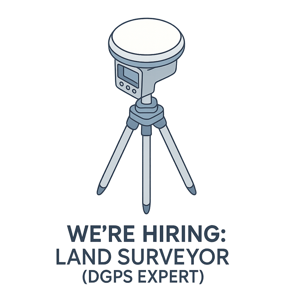
Hiring – DGPS Land Surveyor
🚨 We’re Hiring! 🌍 Trishunya Consultancy & Infrastructure Pvt. Ltd. is expanding its dynamic team! 💼 We’re on the lookout for an experienced Land Surveyor with core expertise in DGPS / RTK surveying. If you’re someone who thrives on precision, terrain challenges, and geospatial data – this is your moment! ✨ 🔍 What We’re Looking For:✅ Minimum 5 years of hands-on field experience✅ Strong command over DGPS equipment and workflows✅ Commitment to quality and accuracy in every survey line 💡 Why Join Us?🌐 Work on high-impact infrastructure and industrial projects🚀 Be part of a tech-savvy, survey-focused team📈 Opportunities for growth across land, hydro, and drone surveying sectors 💡 Salary: ₹20k to ₹40k [+Accommodation] 📬 Apply Now: LINK

DGPS Field Book
When it comes to geodetic-level accuracy, Differential GPS (DGPS) is the gold standard. But even with advanced instruments, proper data logging remains crucial. This DGPS Field Book in PDF format provides: Organized columns for point ID, latitude, longitude, ellipsoidal height Space for PDOP/HDOP values and correction data Signature and remarks sections for each session Ideal for GNSS campaigns, control networks, and high-accuracy corridor mapping Designed by survey professionals for the field, this format simplifies the coordination between operators and analysts. It also serves as documented evidence for submission in government or QA processes. LINK to DOWNLOAD
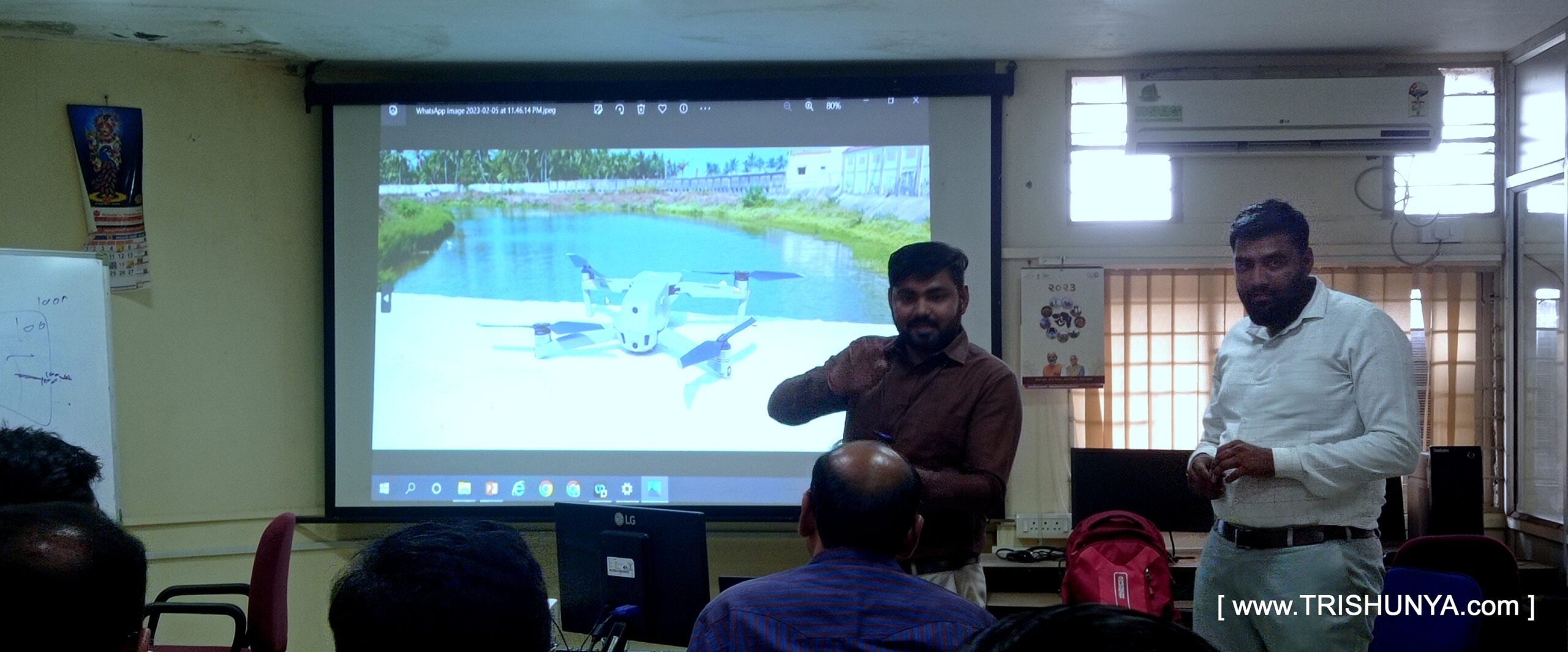
Training on Advanced Surveying to Govt. Officials
🧭 From ground control to 3D models – we trained them on it all!” Proud to be a part of a training week at WALMI, Anand, where we introduced government officers to the future of Advanced Surveying using Drone Tech. ___________________ Thanks to Trishunya Consultancy and our knowledge-sharing platform BGol Community, we could deliver real hands-on value – not just presentations. We walked participants through: Looking forward to more such impactful training!