
Trishunya Survey Solutions: Elevate Your Project with Unmatched AccuracyFrom urban master plans to coastal hydrography, Trishunya delivers turnkey surveying services—combining GNSS, LiDAR, drone photogrammetry and total-station precision to turn complex terrain into clear, actionable data. Whether it’s grading an airport runway or mapping a new township, our expert team ensures on-time delivery, rigorous QA/QC, and CAD-ready outputs that integrate seamlessly into your workflow. Visit Website Today: https://trishunya.com/ BGol Profile: https://bgol.in/user/trishunya.consultancy/
Contact for Land Surveying Needs
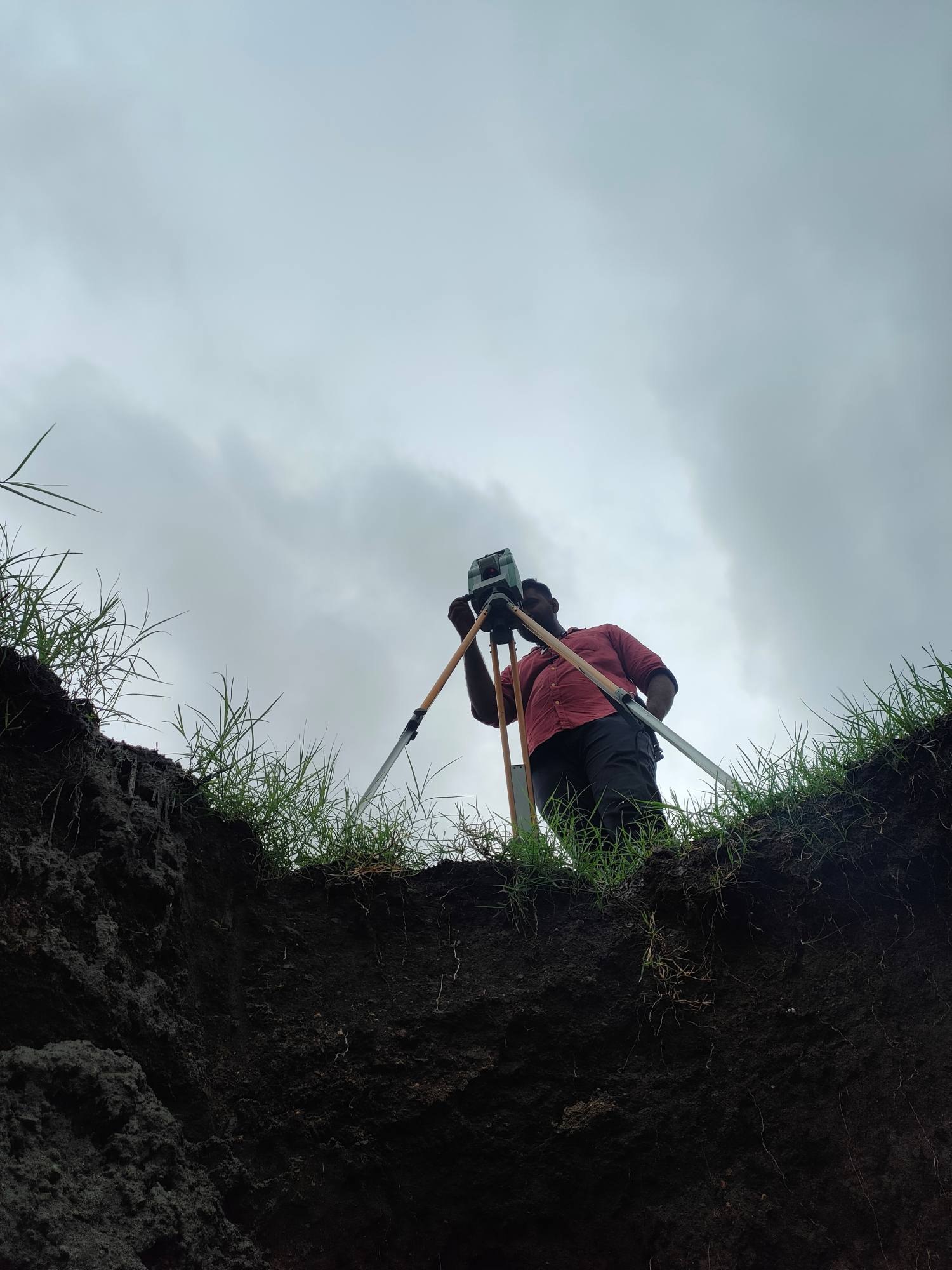
🎯 Our Expertise: High-precision Total Station & DGPS Surveys Accurate Control Network Establishment Detailed Topographic & Terrain Mapping Safe, compliant Highway & Roadway Layout Clear Plot Demarcation & Legal Boundary Surveys Partner with us for reliable data, swift turnaround, and expert insights that keep your project on track.📞 Let’s talk about your next survey—reach out now! Contact Details: https://bgol.in/user/a.square.m.square View this post on Instagram
Contact For Accurate Land Surveying
Precision lies at the heart of every successful project.At Trishunya Survey Solution, we specialize in Total Station & DGPS surveying for: Control Surveys 🗺️ Topographic Mapping 🌄 Highway & Infrastructure Surveys 🛣️ Plot Demarcation & Boundary Mapping 🔖 Serving infrastructure developers, urban planners, and real estate professionals, our expert team delivers centimeter-level accuracy and on-time results.Ready to elevate your next project? Contact today: https://bgol.in/user/kartik.sorathiya/ View this Reel on Instagram
Portfolio – Trishunya 2.0
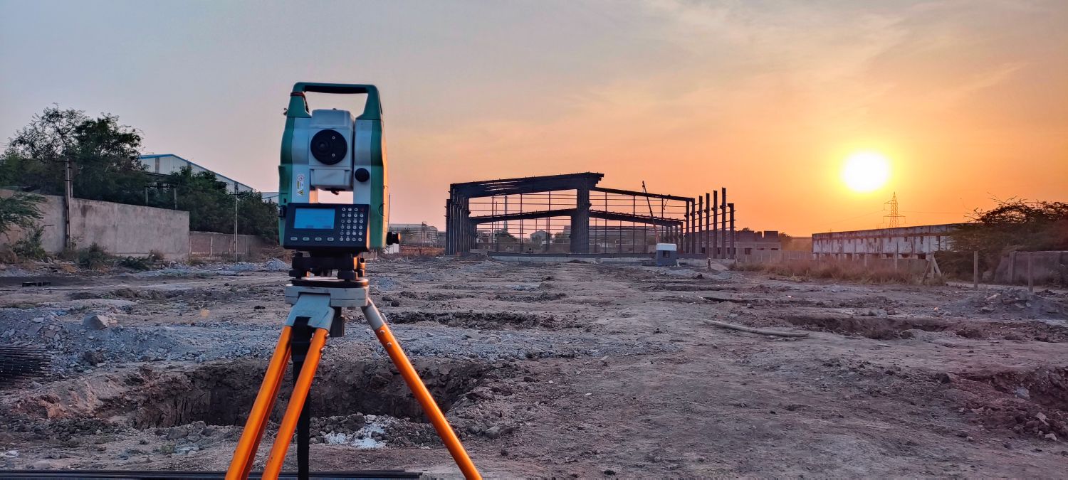
At Trishunya Consultancy & Infrastructure, our surveying expertise is showcased through a diverse portfolio of critical projects across Gujarat: Urban & Municipal Surveys: Detailed topographic mapping and corridor investigations for the Bhavnagar Municipal Corporation in Bhavnagar, Gujarat Port & Coastal Works: Precision hydrographic and structural surveys for APM Terminals at Pipavav Port, ensuring safe navigation and infrastructure planning Energy & Utilities: Comprehensive pipeline route and right-of-way assessments for GETCO in Dholera, Gujarat, supporting seamless power transmission Each engagement combines cutting-edge GNSS, LiDAR, drone, and total-station technologies with rigorous QA/QC procedures to deliver accurate, actionable data. Explore our full portfolio at www.trishunya.com and discover how we can bring precision and reliability to your next surveying project.

Portfolio – Trishunya
At Trishunya, we turn complex terrain into clear, actionable data—leveraging GNSS, drone photogrammetry, LiDAR and total-station workflows to support infrastructure, urban planning and water-resources projects across Gujarat. Portfolio Highlights: Science City, Ahmedabad: 3D terrain models & high-res topography Canal Works: As-built alignment checks & gradient analysis Transportation: Runway grading, platform elevation surveys
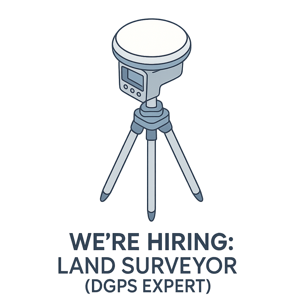
Hiring – DGPS Land Surveyor
🚨 We’re Hiring! 🌍 Trishunya Consultancy & Infrastructure Pvt. Ltd. is expanding its dynamic team! 💼 We’re on the lookout for an experienced Land Surveyor with core expertise in DGPS / RTK surveying. If you’re someone who thrives on precision, terrain challenges, and geospatial data – this is your moment! ✨ 🔍 What We’re Looking For:✅ Minimum 5 years of hands-on field experience✅ Strong command over DGPS equipment and workflows✅ Commitment to quality and accuracy in every survey line 💡 Why Join Us?🌐 Work on high-impact infrastructure and industrial projects🚀 Be part of a tech-savvy, survey-focused team📈 Opportunities for growth across land, hydro, and drone surveying sectors 💡 Salary: ₹20k to ₹40k [+Accommodation] 📬 Apply Now: LINK
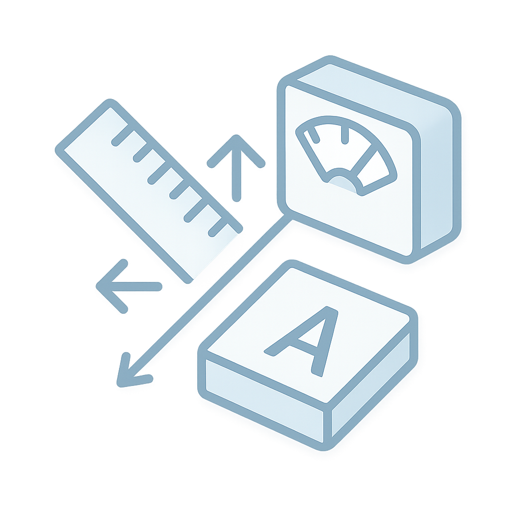
Unit Conversion Table
Field surveyors often juggle between different units—Bigha, Hectares, Square Meters, Gaz, and even obscure regional units. This Unit Conversion Table [HD Image] brings clarity to the chaos. Designed for quick reference, especially on field sites, this table supports: Conversions between standard and local units (like Bigha, Acre, Gaz, Sq. ft., etc.) Gujarati terminology for grassroots field teams A ready-to-use visual format that can be printed, laminated, or viewed digitally Ideal for government cadastral work, land valuation, urban development layouts, and agricultural plots, this table ensures consistency and prevents misinterpretation in measurement-intensive tasks. Link to Download
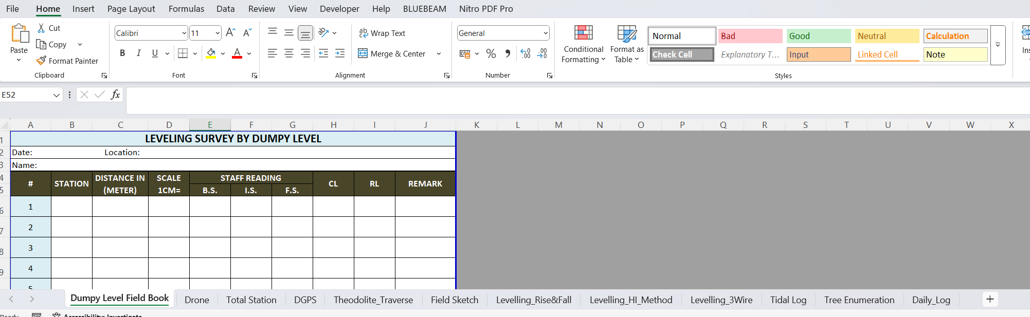
Various Survey Field Book Formats – Excel
Managing multiple types of surveys often leads to multiple field book formats—each with its own structure and quirks. This Excel resource is a complete package of standardized templates covering nearly all types of field surveying activities. What’s inside? Ready-to-use Excel sheets for DGPS, Drone, Theodolite, Dumpy Level, Total Station, and more Pre-formatted columns with formulas and dropdowns where applicable Space for signature, date, remarks, and calculations Consistent design across formats for smoother team training and report compiling This file is perfect for field teams, students in geomatics, private survey agencies, or government field staff. Use it to reduce documentation errors and standardize your workflow. LINK to DOWNLOAD

Chain & Link Conversion Table
In the world of land surveying, legacy systems often linger longer than expected. One such legacy system is the use of Chain and Link units—once the standard for recording distances in field books and Tippan drawings, especially in older cadastral maps across India. The Chain & Link Conversion Table [HD Image] is an essential reference sheet that allows surveyors and GIS professionals to instantly convert traditional units (like 1 chain = 66 feet or 100 links) into modern metric equivalents. Whether you’re digitizing old Tippan drawings or validating historic land records, this visual aid ensures clarity and accuracy during the conversion process. The table includes: This resource is not just a utility—it preserves the bridge between India’s survey heritage and its digital future. LINK to Download

Field Sketch Book – PDF
Not everything in the field can be described in words or numbers. That’s where sketching comes in. The Field Sketch Book (PDF) provides a blank canvas to visualize terrain, structures, utilities, or unique site observations. Why use this? Draw curves, bends, encroachments, or landscape features Annotate buildings, trees, roads, and landmarks visually Perfect for cross-section drafts, offset recording, and site markups Each page includes space for title, location, date, and remarks It’s an essential tool during reconnaissance visits, property demarcation, or for beginners learning to map. LINK to DOWNLOAD