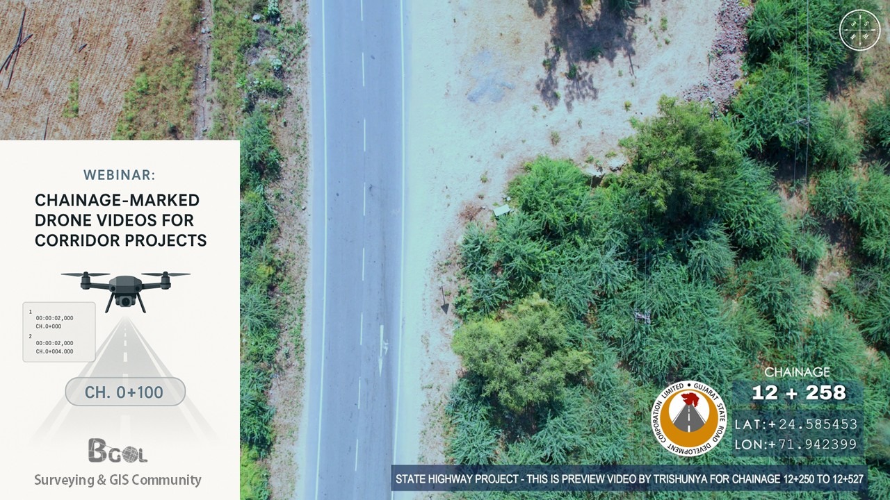
Learn how to turn your corridor drone videos into powerful tools with chainage labels.📌 Topics Covered:✅ Drone camera angle & flight plan tips✅ SRT telemetry from drones✅ Chainage calculation using GPS logs – Free Script & Tool✅ Overlaying chainage text on video – Video Editing Tips ⚙️ DRONE SRT to CHAINAGE AND OTHER SRT COVERTER TOOL :🔩 https://bgol.in/2025/09/20/tool-chainage-marked-drone-videos/ Other Links:⦿ Math – Haversine Formula: https://en.wikipedia.org/wiki/Haversine_formula⦿ Flight Visualizer: https://djitelemetryoverlay.com/srt-viewer/ ⦿ Camera Telemetry Creator: https://goprotelemetryextractor.com/drone-heads-up-display⦿ Video Editing Tool: https://filmora.wondershare.net/⦿ Google Earth: https://www.google.com/intl/en_in/earth/about/versions/⦿ Dronelink: https://www.dronelink.com/ Connect with me: https://www.linkedin.com/in/thevijayparmar/ Join BGol Community: https://bgol.in/register
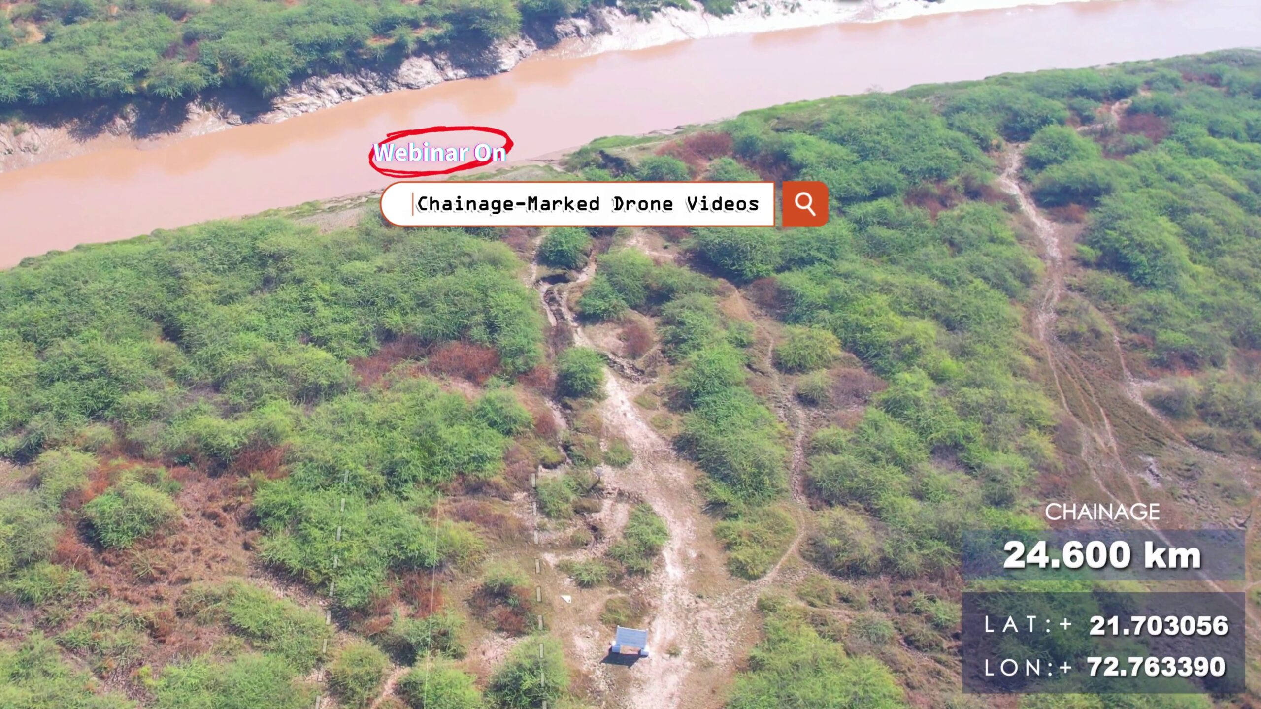
Tool – Chainage-Marked Drone Videos
This app could not be embedded due to browser/security settings. Open DJI Chainage Extractor (opens in a new tab) Drone Chainage & SRT Processing A Streamlit application that automates extraction and processing of GPS metadata from DJI drone video .srt files, generates chainage markers along a reference alignment (KML), and produces synchronized SRT outputs and 3D visualizations. 🚀 Purpose 📋 Features & Workflow 🔍 Under the Hood: Mathematical Background 1. Haversine Formula Computes great‐circle distance between two GPS points (φ1,λ1) and (φ2,λ2): Δφ=φ2−φ1,Δλ=λ2−λ1,a=sin2(Δφ/2)+cosφ1,cosφ2,sin2(Δλ/2),d=2Rarcsin(a), where: 2. Cumulative Chainage Given points P0,P1,…,Pn: Ck=∑i=1kd(Pi−1,Pi), where d() is the segment length from Haversine. 3. Regular Interval Markers To place markers every Δ km: