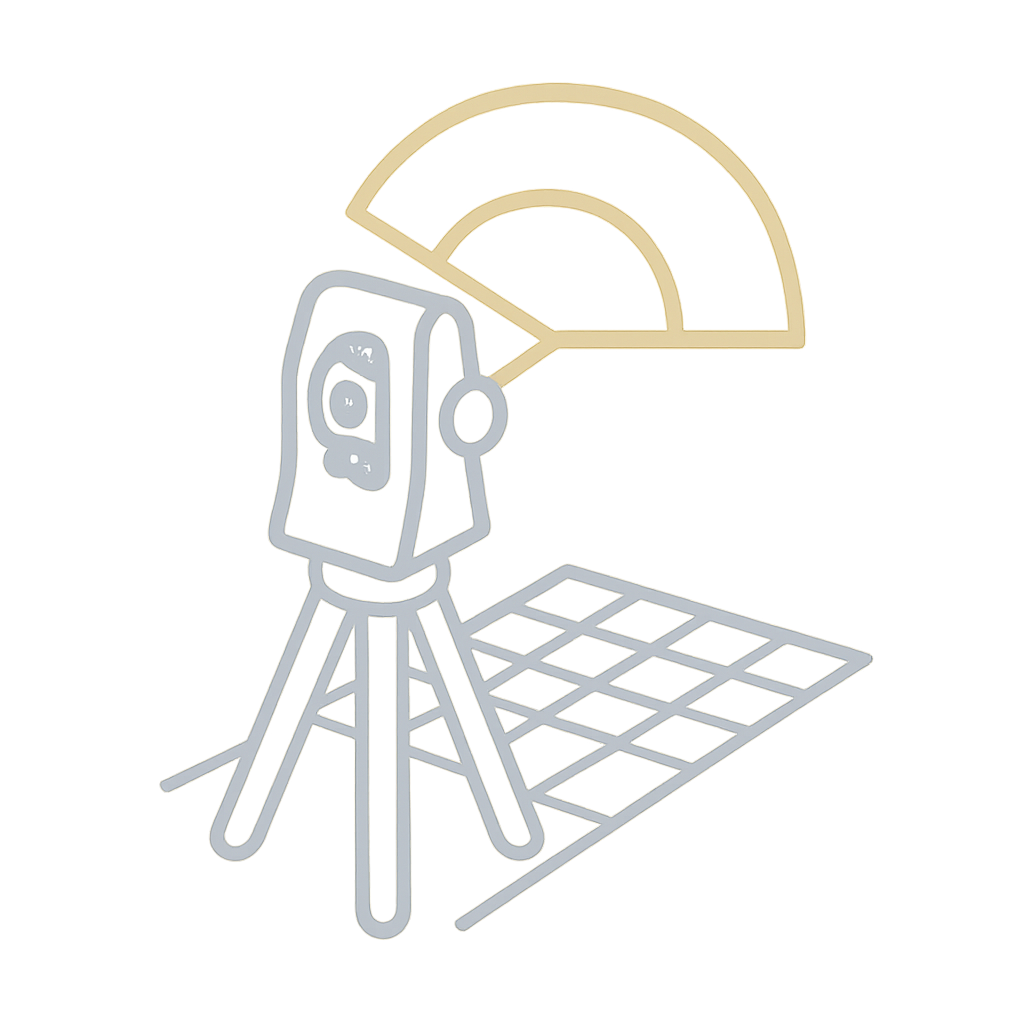
Traversing is the backbone of many land surveys, and the Theodolite is the trusted instrument for measuring angles with high precision. This field book offers a clean and consistent way to record traverses.
Key features:
-
Columns for station name, angle measured, bearing, and distance
-
Traverse adjustment and error closure fields
-
Suitable for property boundary surveys, road centerlines, and bridge alignments
-
Compatible with plotting and CAD post-processing
By capturing clean angular and linear data, this book ensures your traverse network is mathematically sound and geometrically tight.