The Rise and Fall method brings clarity to undulating terrain. It allows surveyors to explicitly note how the ground level is changing between points, making it perfect for grading, contour mapping, and road design.
This PDF template offers:
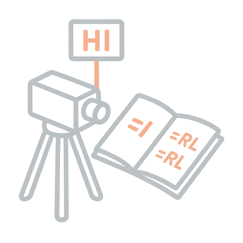
Distinct columns for BS, IS, FS, Rise, Fall, and RL
Arithmetic checks and closure validation section
Best for hilly or variable terrain
Remarks and sketches to map out each section
It supports better decision-making in land development and drainage alignment projects.